This copy is copyright protected.
Copyright © 2024 Geographicus Rare Antique Maps
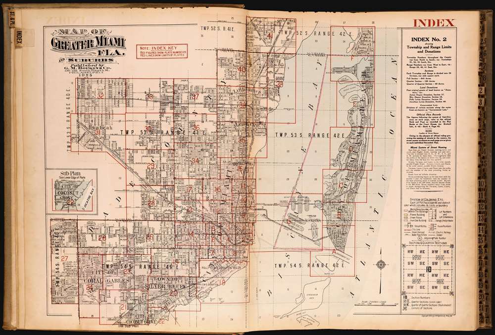
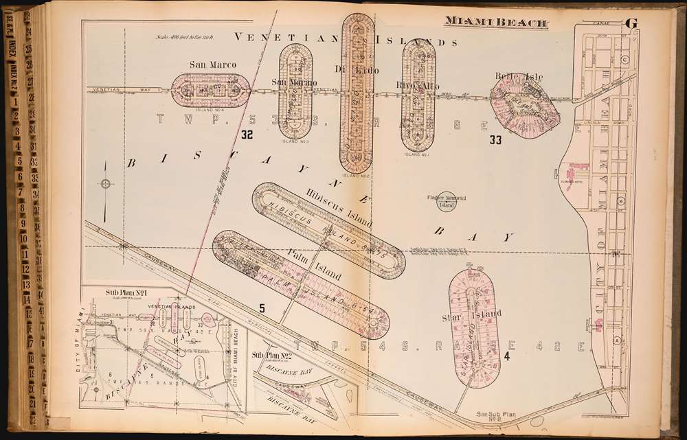
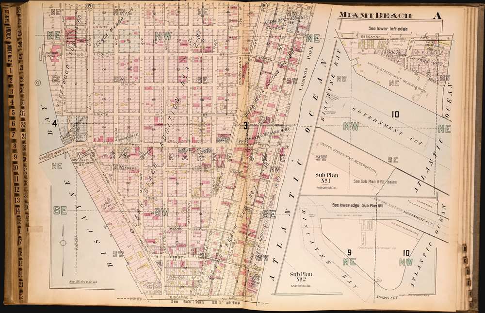
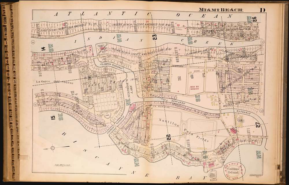
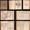
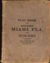
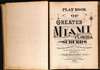
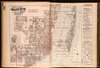
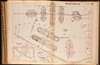
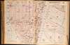
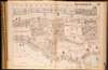
1925 First Edition Hopkins Atlas of Miami and Miami Beach
MiamiAtlas-hopkins-1925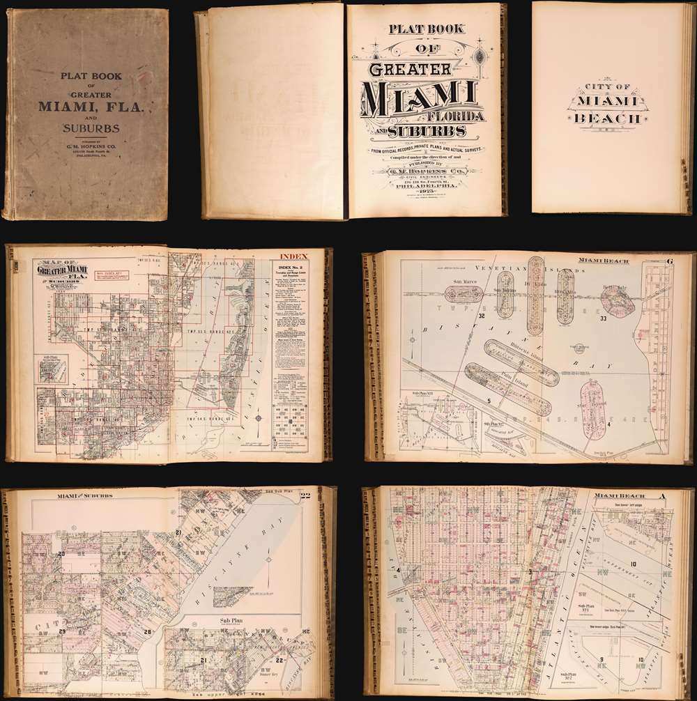
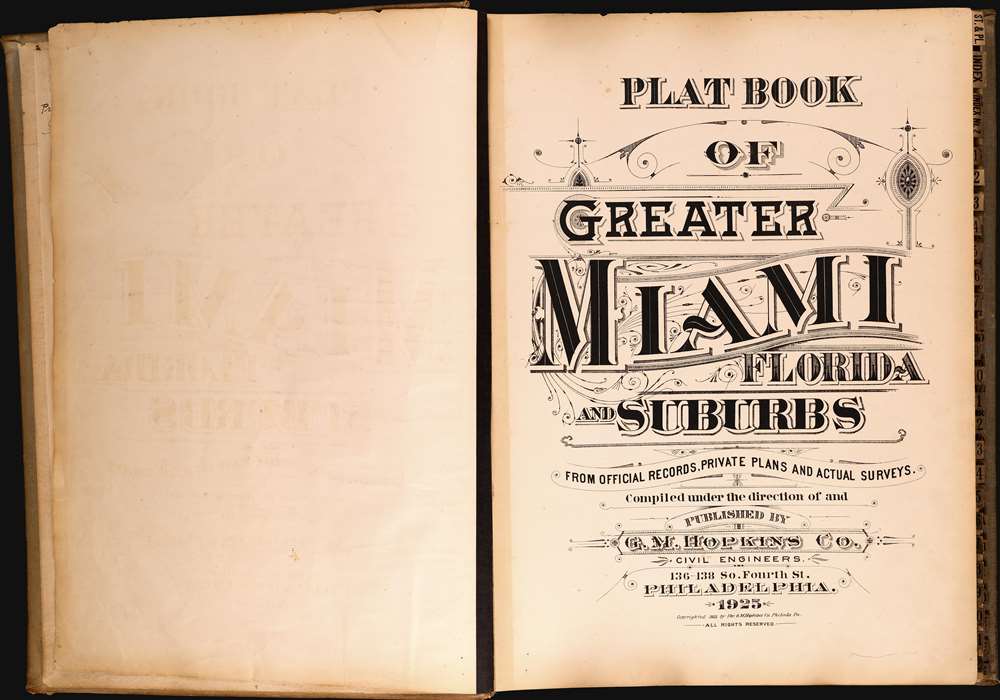


G. M. Hopkins Company (1865 - 1940; 1943 - today) was an American civil engineering and surveying firm based in Philadelphia. Founded in Philadelphia in 1865 by brothers G. Morgan and Henry Hopkins as G.M. Hopkins and Company, the firm focused primarily on real estate plat maps of the Eastern seaboard. It is unknown exactly who G.M. Hopkins was. The 'G.M.' either stands for Griffith Morgan or George Morgan. Three possibilities exist for this happenstance: it is possible that the compilers of early Philadelphia directories were negligent, G.M. Hopkins changed his first name, or two G.M. Hopkins worked for the firm. The firm published 175 plat maps atlases depicting cities, counties, and townships in eighteen states and the District of Columbia, and were among the first to create a cadastral atlas. Henry Hopkins supervised much of the surveying work and was credited with creating two maps in 1860 and 1861. He also served as the chief assistant. G.M. retired in 1900 (and died the following year), which allowed Henry to take control of the business which he renamed the G.M. Hopkins Company in 1902. Henry retired in 1902 and sold the business to George B.C. Thomas, who had been working for the firm since 1896 as an engraver. Henry Hopkins died in 1921. The G.M. Hopkins Company was purchased by the Franklin Survey Company of Philadelphia in 1943 and continued publishing atlases using the Hopkins imprint. In 1986 the company was renamed Franklin Maps and is still in operation today. More by this mapmaker...
Copyright © 2024 Geographicus Rare Antique Maps | Geographicus Rare Antique Maps
This copy is copyright protected.
Copyright © 2024 Geographicus Rare Antique Maps