This copy is copyright protected.
Copyright © 2025 Geographicus Rare Antique Maps
1904 Map of the Denver and Rio Grande and Rio Grande Western Railroad System
Colorado-riogranderailroad-1904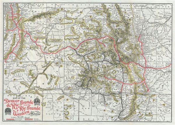

Copyright © 2025 Geographicus Rare Antique Maps | Geographicus Rare Antique Maps
This copy is copyright protected.
Copyright © 2025 Geographicus Rare Antique Maps