This copy is copyright protected.
Copyright © 2025 Geographicus Rare Antique Maps
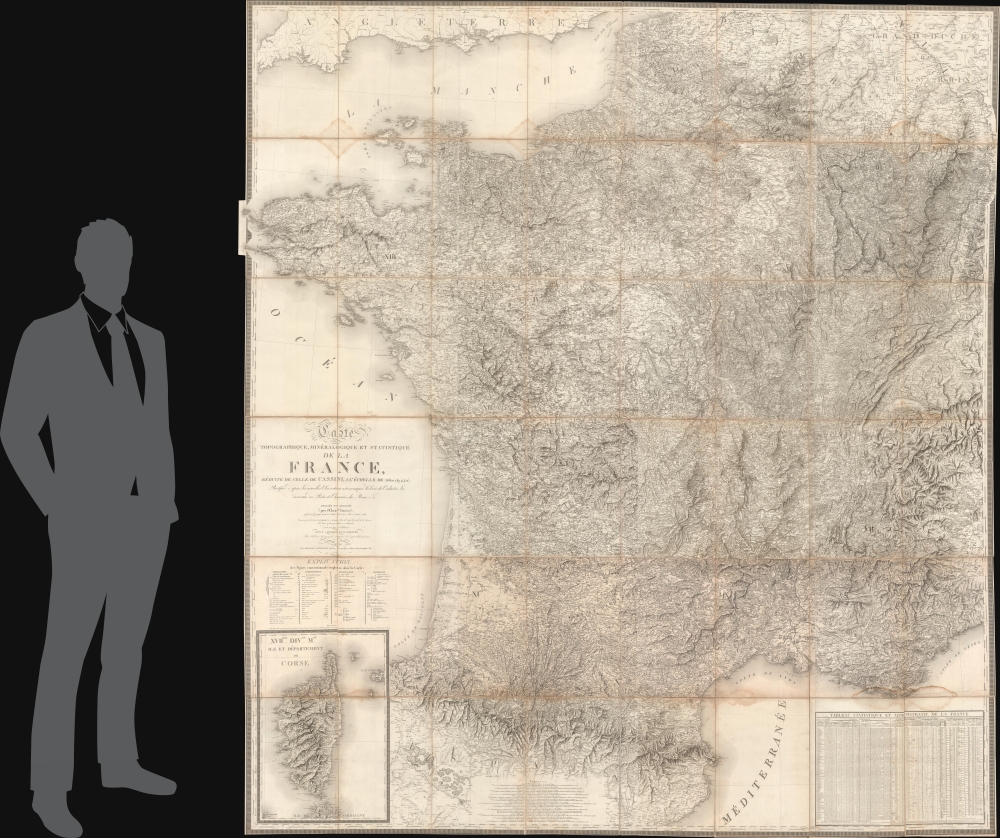
Digital Image: 1826 Donnet / Langlois Wall Map of France - Enormous!
France-donnet-1826_d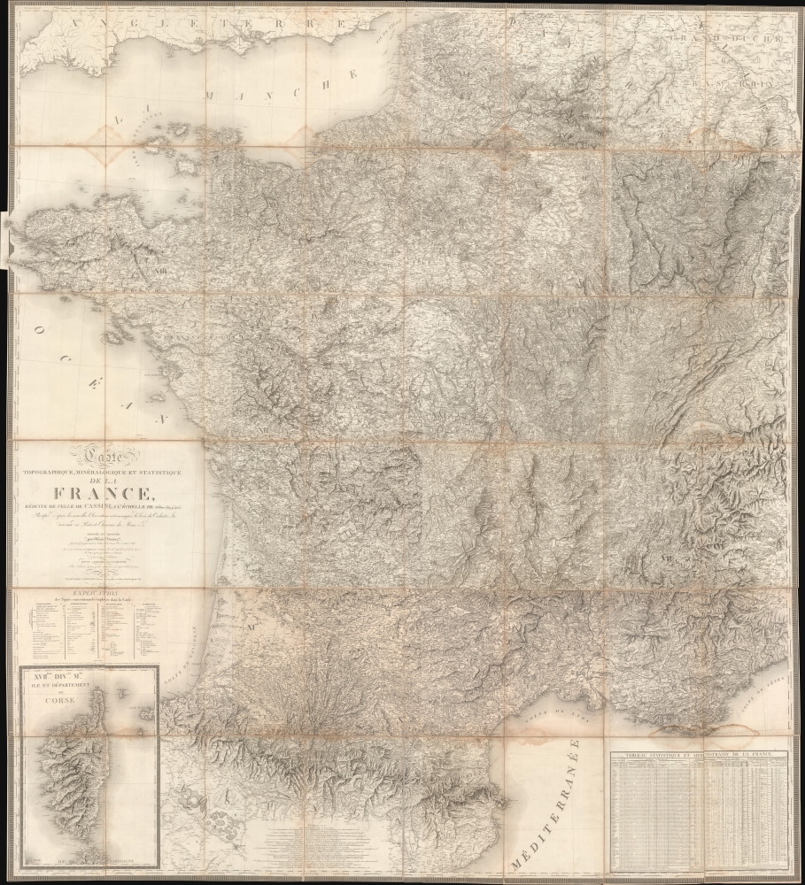

FOR THE ORIGINAL ANTIQUE MAP, WITH HISTORICAL ANALYSIS, CLICK HERE.
Digital Map Information
Geographicus maintains an archive of high-resolution rare map scans. We scan our maps at 300 DPI or higher, with newer images being 600 DPI, (either TIFF or JPEG, depending on when the scan was done) which is most cases in suitable for enlargement and printing.
Delivery
Once you purchase our digital scan service, you will receive a download link via email - usually within seconds. Digital orders are delivered as ZIP files, an industry standard file compression protocol that any computer should be able to unpack. Some of our files are very large, and can take some time to download. Most files are saved into your computer's 'Downloads' folder. All delivery is electronic. No physical product is shipped.
Credit and Scope of Use
You can use your digial image any way you want! Our digital images are unrestricted by copyright and can be used, modified, and published freely. The textual description that accompanies the original antique map is not included in the sale of digital images and remains protected by copyright. That said, we put significant care and effort into scanning and editing these maps, and we’d appreciate a credit when possible. Should you wish to credit us, please use the following credit line:
Courtesy of Geographicus Rare Antique Maps (http://www.geographicus.com).
How Large Can I Print?
In general, at 300 DPI, you should at least be able to double the size of the actual image, more so with our 600 DPI images. So, if the original was 10 x 12 inches, you can print at 20 x 24 inches, without quality loss. If your display requirements can accommodate some loss in image quality, you can make it even larger. That being said, no quality of scan will allow you to blow up at 10 x 12 inch map to wall size without significant quality loss. For more information, it is best consult a printer or reprographics specialist.
Refunds
If the high resolution image you ordered is unavailable, we will fully refund your purchase. Otherwise, digital images scans are a service, not a tangible product, and cannot be returned or refunded once the download link is used.
Alexis Donnet (1782 - 1867), aka Aleixo, was a French map geographical engineer, architect, map publisher, and cartographer active in France in the first half of the 19th century. Donnet was born in Lyon. During the First Empire he was an ingénieur-géographe attached to Cadastre de la France. His work is scarce on the market, but well represented in official collections within France, particularly the Bibliothèque Nationale de France (BnF). In addition to cartographic work, he published an architectural study of the theaters of Paris (1821). More by this mapmaker...
Hyacinthe Langlois (fl. c. 1800 - 1852) was a Parisian publishing house specializing in maps, atlases, and travel literature. They do not appear to have any relation with Eustache-Hyacinthe Langlois, a contemporary artist and engraver, who spent most of his adult life in Rouen. Learn More...
A. R. Fremin (fl. c. 1810 - c. 1860) was a French geographer active in the early to mid 19th century. He is known to have been a student of the cartographer Jean-Baptiste Poirson. Fremin drew and compiled maps for many prominent French cartographic publishers of the period including Tardieu, Logerot, Dufour, Monin, Duvotenay, Dyonnet, and Vuillemin. Little else is known of Fremin's life and work. Learn More...
Copyright © 2025 Geographicus Rare Antique Maps | Geographicus Rare Antique Maps
This copy is copyright protected.
Copyright © 2025 Geographicus Rare Antique Maps