This copy is copyright protected.
Copyright © 2025 Geographicus Rare Antique Maps

Details
1945 Mann and Armitage City Plan or Map of Honolulu, Oahu, Hawaii
1945 (dated) $300.00
1942 Guitarist Magazine Pictorial Map of Oahu, Hawaii
Oahu-guitarist-1942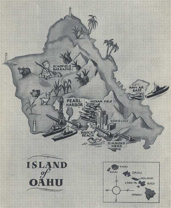

Copyright © 2025 Geographicus Rare Antique Maps | Geographicus Rare Antique Maps
This copy is copyright protected.
Copyright © 2025 Geographicus Rare Antique Maps