This copy is copyright protected.
Copyright © 2025 Geographicus Rare Antique Maps

Details
1794 Laurie and Whittle Map of Singapore, Malay, and Borneo
1794 (dated) $3,200.00
1943 or Showa 18 World War II Era Japanese Map of Borneo
Borneo-showa18-1943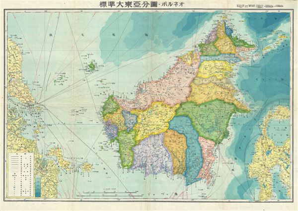

Copyright © 2025 Geographicus Rare Antique Maps | Geographicus Rare Antique Maps
This copy is copyright protected.
Copyright © 2025 Geographicus Rare Antique Maps