This copy is copyright protected.
Copyright © 2025 Geographicus Rare Antique Maps
1943 World War II Japanese Aeronautical Map of Borneo
Borneo12-wwii-1943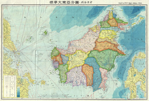

Copyright © 2025 Geographicus Rare Antique Maps | Geographicus Rare Antique Maps
This copy is copyright protected.
Copyright © 2025 Geographicus Rare Antique Maps