This copy is copyright protected.
Copyright © 2025 Geographicus Rare Antique Maps
1910 or Meiji 43 Japanese Map of Busan or Pusan, Korea
Busan-meiji43-1910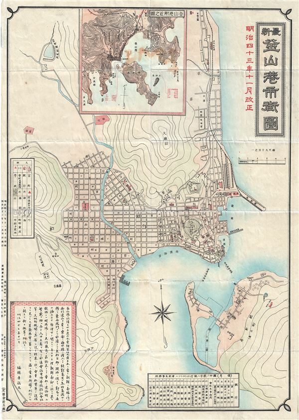

Copyright © 2025 Geographicus Rare Antique Maps | Geographicus Rare Antique Maps
This copy is copyright protected.
Copyright © 2025 Geographicus Rare Antique Maps