This copy is copyright protected.
Copyright © 2025 Geographicus Rare Antique Maps
1936 Crawford Press Pictorial Map of Cape Cod, Massachusetts
CapeCod-crawfordpress-1936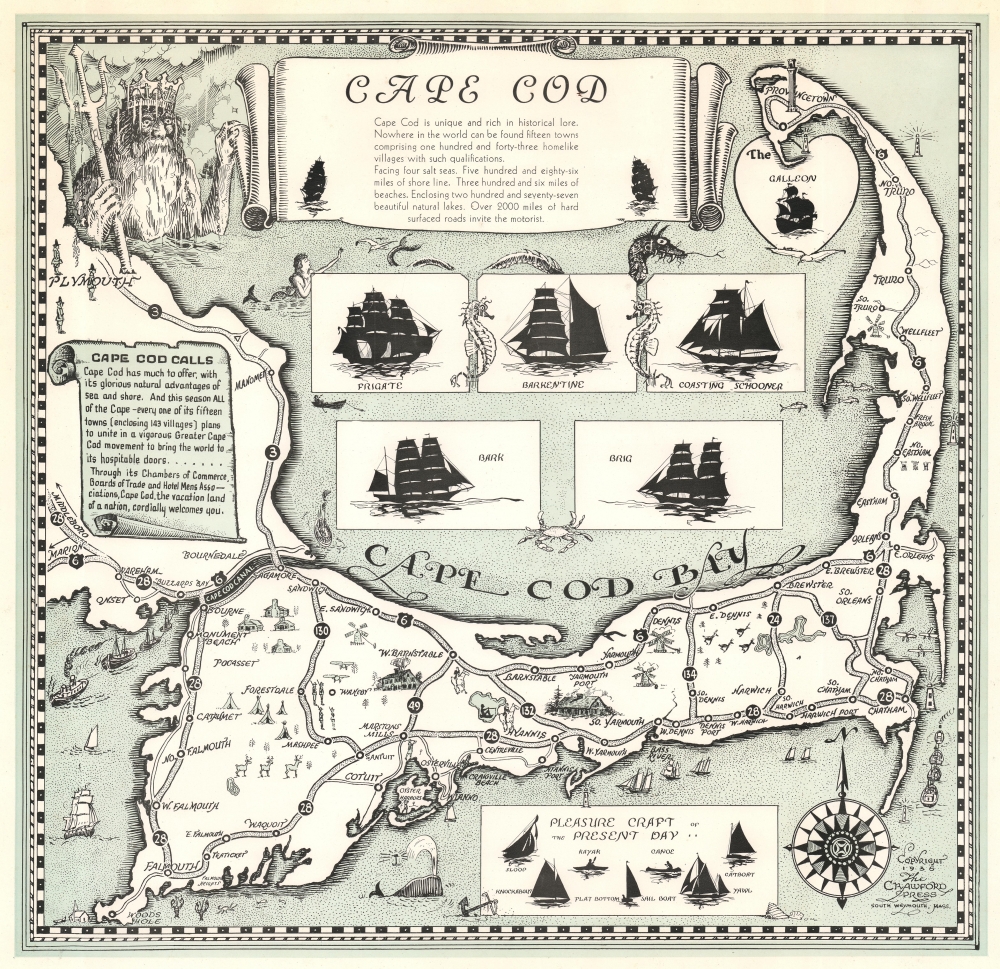

Copyright © 2025 Geographicus Rare Antique Maps | Geographicus Rare Antique Maps
This copy is copyright protected.
Copyright © 2025 Geographicus Rare Antique Maps