This item has been sold, but you can get on the Waitlist to be notified if another example becomes available, or purchase a digital scan.
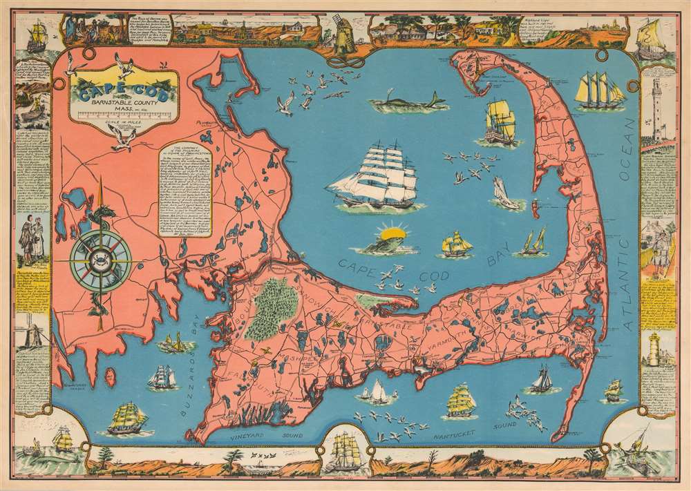
1937 C.W. Holliday Pictorial Map of Cape Cod
CapeCod-holliday-1937$625.00

Title
Cape Cod Barnstable County Mass.
1937 (dated) 16.5 x 23.5 in (41.91 x 59.69 cm) 1 : 150000
1937 (dated) 16.5 x 23.5 in (41.91 x 59.69 cm) 1 : 150000
Description
This is a 1937 C. W. Holliday pictorial map of Cape Cod, Massachusetts. Cape Cod's maritime history takes center stage. Illustrations of numerous sailing ships, The Mayflower and Northern Light (the clipper ship that connected Boston and San Francisco via Cape Horn), ply the waters surrounding the Cape. A whale, a gigantic 'sacred cod', and flocks of seagulls and geese appear as well. Lighthouses around the cape are prominently illustrated, along with windmills, airports, and the region's road network. The Cape Cod Sea Serpent entwines itself around the compass in the lower left quadrant and a pair of them occupy the top of the title cartouche. The maritime theme carries over to the cartouches and the border; all are created out of thick rigging rope. Views, historic anecdotes, and maritime scenes create the border itself.
Publication History and Census
This map was created by C. W. Holliday and published by the Town Crier Shop in 1937. Little is known of C. W. including his name, but the Town Crier was owned by a different Holliday, the widower Guy C. Holliday, so there is likely a relation. An example is part of the David Rumsey Historical Map Collection and it is scarce on the private market.Cartographer
Town Crier Shop (c. 1930 - c. 1966) occupied 265-267 Commercial Street in Provincetown, Massachusetts. The store offered a wide range of inventory, including postcards, newspapers, housewares, stationery, toys, and gifts. The shop was owned by Guy C. Holliday, known far and wide as 'the postcard king of Provincetown' More by this mapmaker...
Condition
Very good. Backed on archival tissue for stability. Blank on verso.
References
Rumsey 8299.000.

