This copy is copyright protected.
Copyright © 2025 Geographicus Rare Antique Maps

Details
1945 Army Information Branch Newsmap, Year 8 of the Second Sino-Japanese War
1945 (dated) $600.00
1820 Japanese Map of China
China-japanese-1820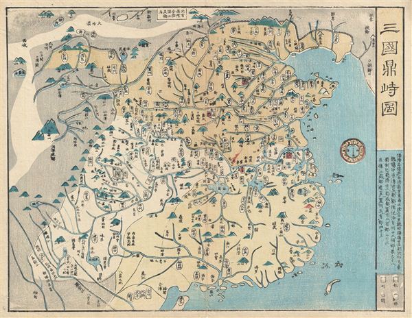

Copyright © 2025 Geographicus Rare Antique Maps | Geographicus Rare Antique Maps
This copy is copyright protected.
Copyright © 2025 Geographicus Rare Antique Maps