This copy is copyright protected.
Copyright © 2025 Geographicus Rare Antique Maps
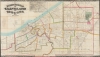
1873 Stringer / Dercum Map of Cleveland, Ohio
Cleveland-stringer-1873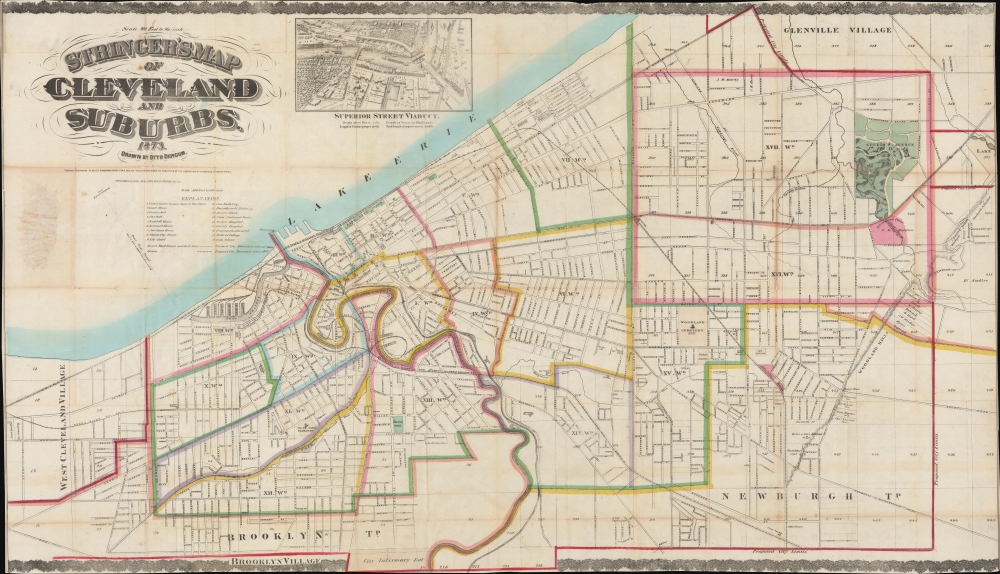


Otto Dercum (March 18, 1839 - August 10, 1927) was a German-American civil engineer, draftsman, and printer active in Cleveland, Ohio in the second half of the 19th century. Dercum was born in Pirmasenz, Germany in 1839. He emigrated to the United States in April of 1865, settling in Cleveland, Ohio, where he was naturalized in October 1871. In the 1890s he worked for the Cleveland Municipal Council as a draftsman. He was a member of the Civil Engineers Club of Cleveland. More by this mapmaker...
Ferdinand Mayer (October 19, 1817 - November 14, 1879) was a prosperous lithographer based in New York during the latter part of the 19th century. Mayer was born in Württemberg, Germany, but emigrated to the United States following the 1848 March Revolutions that swept through the German Confederation - maybe as late as 1854. Initially, Mayer was associated with various partners, including Prang, Nagel, and Korff - also German immigrants. By 1855, he established himself at 96 Fulton Street and, within a few years, expanded to the neighboring property at 98 Fulton Street. Meyer produced an enormous corpus of varied work, including music sheets, bank notes, broadsides, maps, and views. His career was probably jumpstarted through an early partnership with the important cartographer Henry Walling, many of whose maps and atlases bear the 'Ferd. Mayer' imprint. His most important publication is most likely Egbert L. Vielé's 1865 Topographical Map of the City of New York, one of the most important and influential maps of New York City ever published. The Mayer imprint appears on documents as, variously, 'Ferd. Meyer', 'F. Mayer', and 'Mayer and Sons'. Learn More...
William Stringer (fl. c. 1870 - 1875) was an editor and publisher based in Cleveland, Ohio. Learn More...
Copyright © 2025 Geographicus Rare Antique Maps | Geographicus Rare Antique Maps
This copy is copyright protected.
Copyright © 2025 Geographicus Rare Antique Maps