Digital Image: 1870 Vallardi Map of Umbria - Lazio or the Country Around Rome, Italy
CompagnaRoma-vallardi-1870_d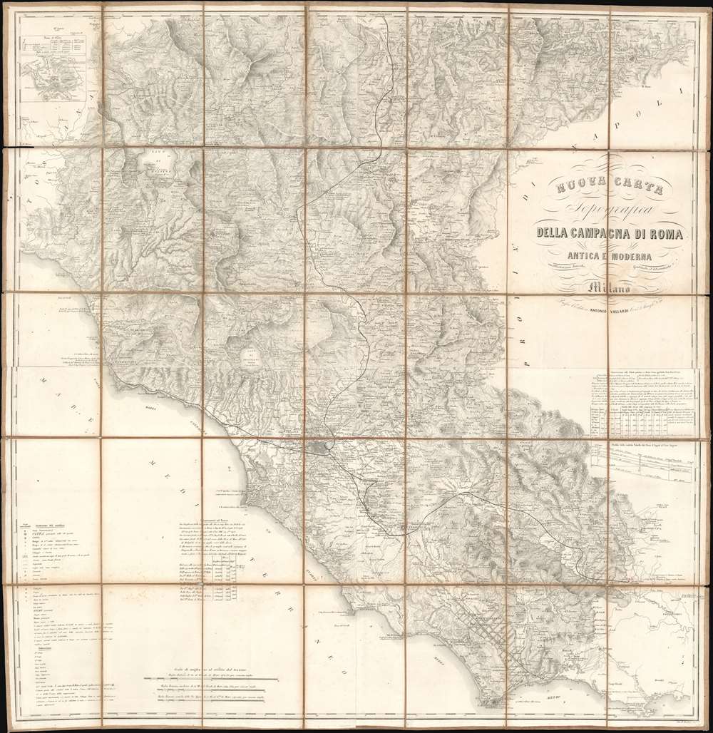

Title
Nuova Carta Topografica della Campagna di Roma Antica e Moderna.
1870 (undated) 39.75 x 38.75 in (100.965 x 98.425 cm) 1 : 200000
1870 (undated) 39.75 x 38.75 in (100.965 x 98.425 cm) 1 : 200000
Description
FOR THE ORIGINAL ANTIQUE MAP, WITH HISTORICAL ANALYSIS, CLICK HERE.
Digital Map Information
Geographicus maintains an archive of high-resolution rare map scans. We scan our maps at 300 DPI or higher, with newer images being 600 DPI, (either TIFF or JPEG, depending on when the scan was done) which is most cases in suitable for enlargement and printing.
Delivery
Once you purchase our digital scan service, you will receive a download link via email - usually within seconds. Digital orders are delivered as ZIP files, an industry standard file compression protocol that any computer should be able to unpack. Some of our files are very large, and can take some time to download. Most files are saved into your computer's 'Downloads' folder. All delivery is electronic. No physical product is shipped.
Credit and Scope of Use
You can use your digial image any way you want! Our digital images are unrestricted by copyright and can be used, modified, and published freely. The textual description that accompanies the original antique map is not included in the sale of digital images and remains protected by copyright. That said, we put significant care and effort into scanning and editing these maps, and we’d appreciate a credit when possible. Should you wish to credit us, please use the following credit line:
Courtesy of Geographicus Rare Antique Maps (http://www.geographicus.com).
How Large Can I Print?
In general, at 300 DPI, you should at least be able to double the size of the actual image, more so with our 600 DPI images. So, if the original was 10 x 12 inches, you can print at 20 x 24 inches, without quality loss. If your display requirements can accommodate some loss in image quality, you can make it even larger. That being said, no quality of scan will allow you to blow up at 10 x 12 inch map to wall size without significant quality loss. For more information, it is best consult a printer or reprographics specialist.
Refunds
If the high resolution image you ordered is unavailable, we will fully refund your purchase. Otherwise, digital images scans are a service, not a tangible product, and cannot be returned or refunded once the download link is used.
Cartographer S
Antonio Vallardi (1813 - 1876) was an Italian publisher and founder of the Antonio Vallardi publishing house. Born into a Milanese publishing family, his grandfather Cesare Vallardi (1736 - 1799) began publishing books in Contrada Santa Margherita in the 1750s. Vallardi's father, Pietro (1770 - 1819), and uncle Giuseppe (1784 - 1861) continued their father's publishing business but renamed the company Fratelli Vallardi and became prominent publishers of books and art prints. Pietro's sons, Franceso and Antonio, both founded their own publishing houses. Antonio Vallardi opened his publishing house in 1843, three years after his brother. Antonio's publishing house became known for academic and linguistic works, alongside the many maps and guides it published for the Touring Club. Antonio's descendants operated the publishing house until 1970, when they sold the firm to Garzanti. More by this mapmaker...
Giovanni Battista Bordiga (1799 - 18xx) was an Italian engraver who produced dozens of works, many of which were maps. Learn More...