This copy is copyright protected.
Copyright © 2025 Geographicus Rare Antique Maps
1732 / 1735 Müller Map of Crete, Greece
Crete-muller-1735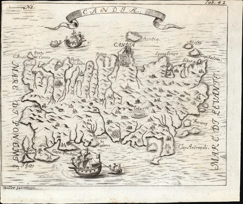

Angelikus Maria Müller or Myller (???? - 1734) was a Bohemian friar, author and traveler. Virtually nothing is known about his life, except that he was a friar of the Order of the Servants of Mary (the Servites.) He emerges from obscurity with the published account of his pilgrimage to the Holy Land, Peregrinus in Jerusalem. The 1725-1727 journey took him from the Italian port of Livorno to Palestine, Troy, Gallipoli, Constantinople, Egypt, Syria and back to Rome. Müller's pilgrimage made him valuable both to his order and to the Habsburg monarchy. In 1733 he was appointed theologian for the imperial ambassador to London, Count Philip Joseph Kinsky. Such a poilitical appointment was very unusual for a Servite friar: typically their service was in rural monasteries or pilgrim sites. Unfortunately, he was plagued by ill health, and this caught up with him in London, where he died in 1734. His work is the longest early-modern pilgrimage account written by a Bohemian (the work was written, in German, in Prague.) The first volume of the work was published in Prague in 1729; later volumes appeared there in 1732. A futher edition was published posthumously, in Vienna and Nuremberg, in 1735. More by this mapmaker...
Matteo Pagano (1515-1588) was a Venetian woodcut artist and illustrator. While nothing is known about his early training, he was prolific and apparently successful. Among his more famous works is a 1556 eight-sheet woodcut of the procession of the Doge, in Venice. He produced a number of maps for various works, most notably the visually distinctive area maps appearing in Ramusio's Navigazioni et Viaggi. He is particularly noted for having published books of lace, needlework and embroidery designs, promoting needlework as an acceptable activity for virtuous women. Learn More...
Copyright © 2025 Geographicus Rare Antique Maps | Geographicus Rare Antique Maps
This copy is copyright protected.
Copyright © 2025 Geographicus Rare Antique Maps