1946 Melville Map of Damariscotta and Newcastle, Maine, and Environs
DamariscottaNewcastle-melville-1946$325.00

Title
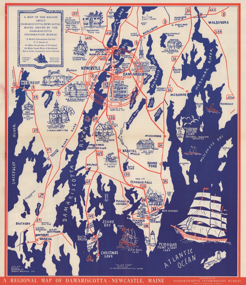
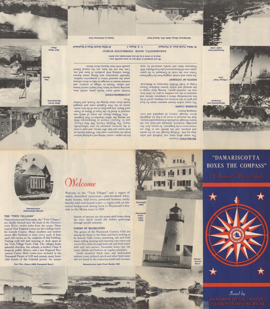
A Map of the Region About Damariscotta-Newcastle, Maine, Served by the Damariscotta Information Bureau. / 'Damariscotta Boxes the Compass' A Regional Map and Guide.
1946 (dated) 18 x 15.25 in (45.72 x 38.735 cm)
1946 (dated) 18 x 15.25 in (45.72 x 38.735 cm)
Description
This is a 1946 Grevis Melville map of Damariscotta and Newcastle, Maine, and its environs. Melville, a celebrated artist, lived and worked in and around Damariscotta and was president of the Damariscotta Information Bureau, the map's publisher.
A Closer Look
This map depicts the region from Damariscotta Lake to the Atlantic Ocean and from the Sheepscot River to Friendship Island. Charming illustrations highlight regional landmarks and historic sites, including the County Court House at Wiscasset, St. Patrick's Church, the Kavanagh House, Fort William Henry, and the Pemaquid Point Light. Lakes and ponds are illustrated and labeled. The local road network is highlighted in red, as is the office of the Information Bureau.Publication History and Census
This map was designed by Grevis Melville in 1946 and published by the Damariscotta Information Bureau. This is the only confirmed cataloged example of the 1946 edition of this map. Four examples of this map, all dated later than the present example, are cataloged in OCLC.Cartographer
Grevis Whitaker Melville (1904 - 1996) was an American painter and printmaker. Born in Damariscotta, Maine, Melville studied at the Yale School of Art and Architecture. In the 1930s he founded the Damariscotta Region Information Bureau as a Works Progress Administration Project. He served as its director for 44 years. He was also a passionate preservationist and conservationist. More by this mapmaker...
Condition
Very good. Light wear along original fold lines. Closed tear extending 1.5 inches from bottom edge professionally repaired on verso. Verso repair at a fold intersection. Text and printed photographs on verso.
References
OCLC 963242384.


