This copy is copyright protected.
Copyright © 2025 Geographicus Rare Antique Maps
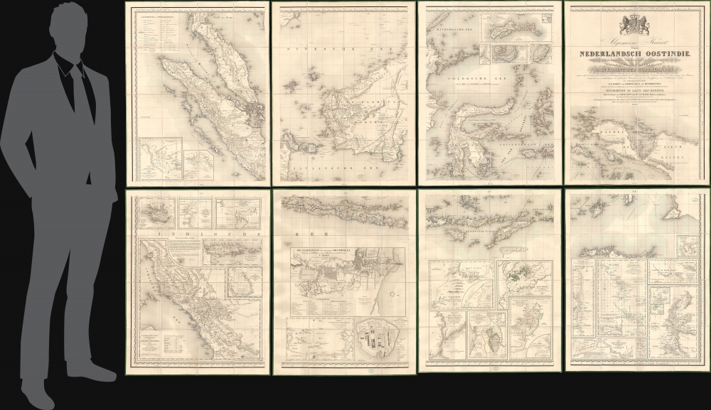
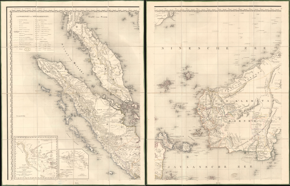
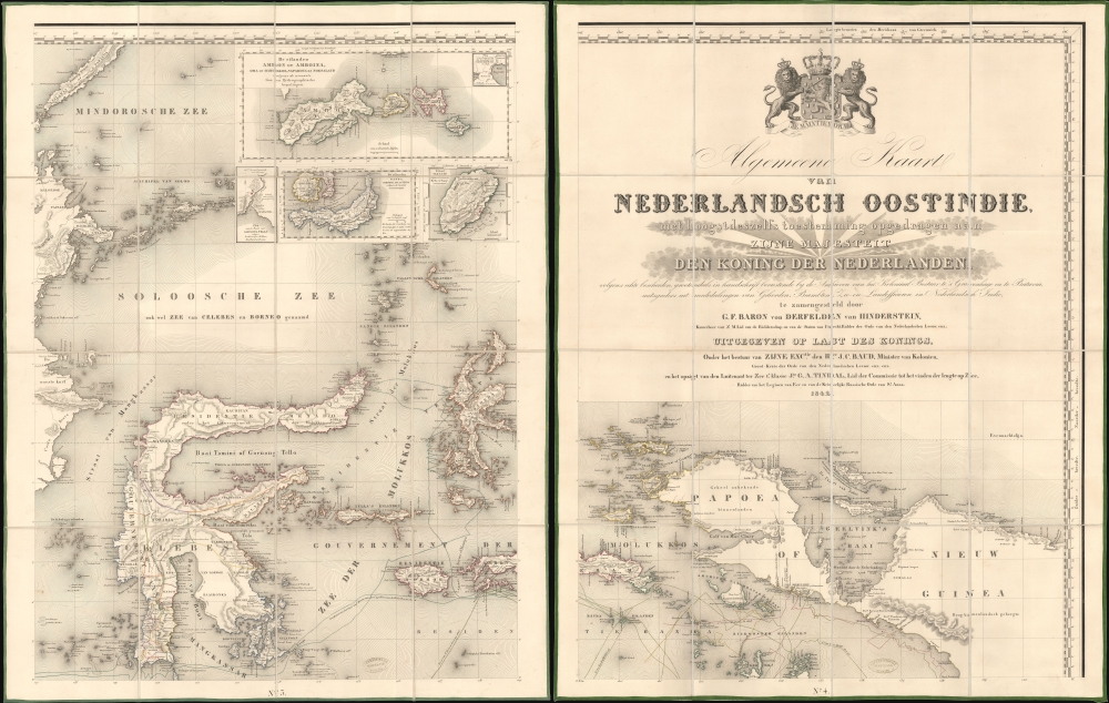
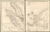
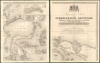
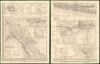
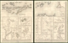
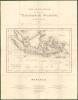
Digital Image: 1842 Derfelden 9-Sheet Map of the East Indies (cased in red leather)
EastIndies-derfelden-1842_d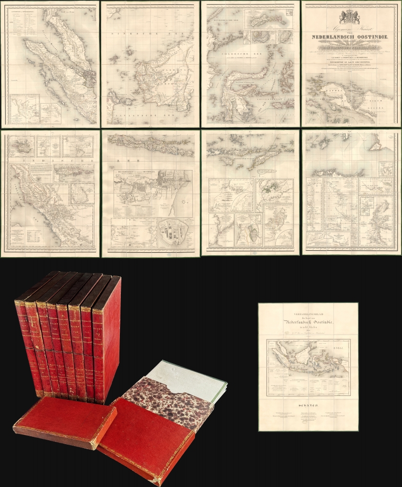


FOR THE ORIGINAL ANTIQUE MAP, WITH HISTORICAL ANALYSIS, CLICK HERE.
Digital Map Information
Geographicus maintains an archive of high-resolution rare map scans. We scan our maps at 300 DPI or higher, with newer images being 600 DPI, (either TIFF or JPEG, depending on when the scan was done) which is most cases in suitable for enlargement and printing.
Delivery
Once you purchase our digital scan service, you will receive a download link via email - usually within seconds. Digital orders are delivered as ZIP files, an industry standard file compression protocol that any computer should be able to unpack. Some of our files are very large, and can take some time to download. Most files are saved into your computer's 'Downloads' folder. All delivery is electronic. No physical product is shipped.
Credit and Scope of Use
You can use your digial image any way you want! Our digital images are unrestricted by copyright and can be used, modified, and published freely. The textual description that accompanies the original antique map is not included in the sale of digital images and remains protected by copyright. That said, we put significant care and effort into scanning and editing these maps, and we’d appreciate a credit when possible. Should you wish to credit us, please use the following credit line:
Courtesy of Geographicus Rare Antique Maps (http://www.geographicus.com).
How Large Can I Print?
In general, at 300 DPI, you should at least be able to double the size of the actual image, more so with our 600 DPI images. So, if the original was 10 x 12 inches, you can print at 20 x 24 inches, without quality loss. If your display requirements can accommodate some loss in image quality, you can make it even larger. That being said, no quality of scan will allow you to blow up at 10 x 12 inch map to wall size without significant quality loss. For more information, it is best consult a printer or reprographics specialist.
Refunds
If the high resolution image you ordered is unavailable, we will fully refund your purchase. Otherwise, digital images scans are a service, not a tangible product, and cannot be returned or refunded once the download link is used.
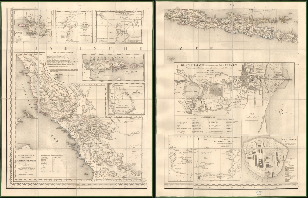
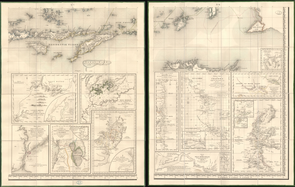
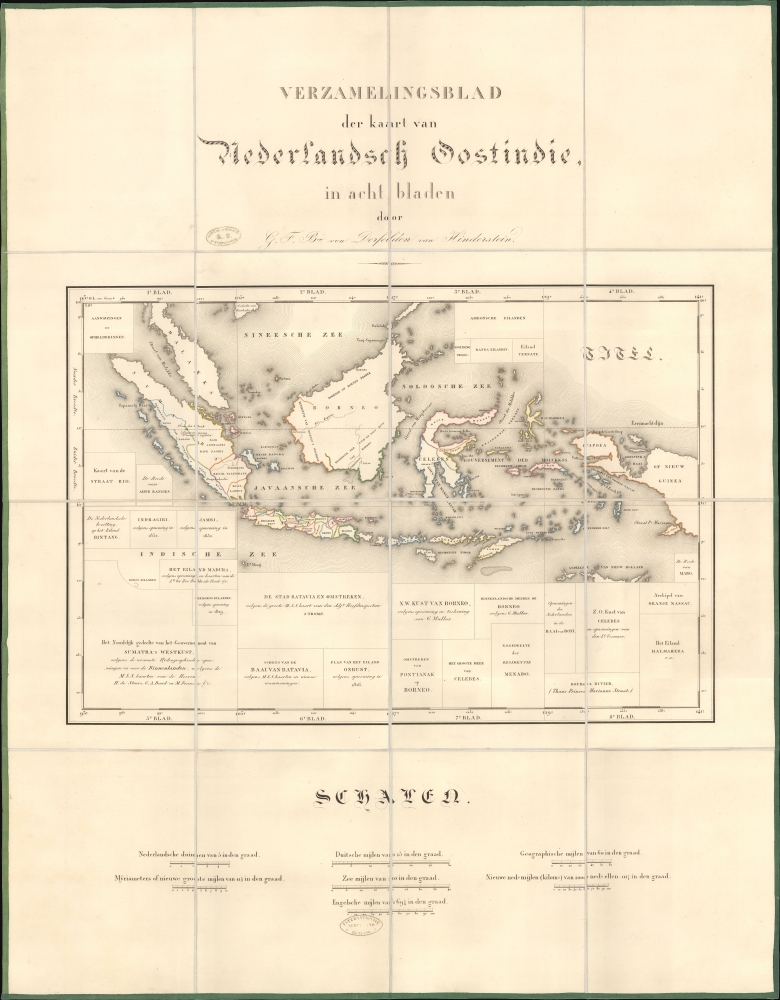
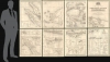
Gijsbert Franco Baron von Derfelden van Hinderstein (July 12, 1783 - May 17, 1857) was a Dutch nobleman and cartographer active in the early to mid-19th century. Von Derfelden was born in Utrecht to Friedrich Johann Baron von Derfelden (1744 - 1808), an officer of Baltic-German nobility from Estonia who enlisted in the Dutch army at the age of 12, and Wilhelmina Elisabeth Henriette van Flodorp (1748- 1823), daughter of a minister from Meerssen near Maastricht. Through his mother, he inherited lordship over Hinderstein and Snellenburg. He exhibited an early proficiency in mathematics and geography, collecting maps and subscribing to geographic and hydrographic journals. In 1815, he became one of just eight nobles of foreign origin to receive a Knighthood of Utrecht. In 1823, at his own request, he was appointed Chamberlain of the King in extraordinary service. He leveraged this relationship to receive a royal commission for a large general map of the Dutch East Indies. For his services to the country for producing this map, the 1842 Algemene Kaart van Nederlandsch Oostindie, he was appointed Knight in the Order of the Netherlands Lion. He dedicated the remainder of his career to scholarly correspondence regarding cartographic matters, including the boundary between Europe and Asia, the sources of the Nile, and the standardization of the prime meridian. More by this mapmaker...
Copyright © 2025 Geographicus Rare Antique Maps | Geographicus Rare Antique Maps
This copy is copyright protected.
Copyright © 2025 Geographicus Rare Antique Maps