This item has been sold, but you can get on the Waitlist to be notified if another example becomes available, or purchase a digital scan.
1922 Tourist News Map of Florida
Florida-touristnews-1922$225.00


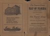

Title
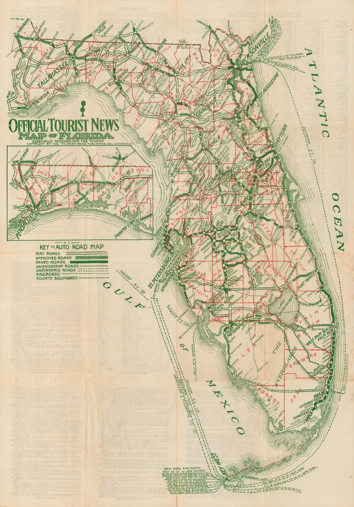
Official Tourist News Map of Florida, Especially Designed for the Tourist.
1922 (undated) 31.5 x 22 in (80.01 x 55.88 cm) 1 : 1050000
1922 (undated) 31.5 x 22 in (80.01 x 55.88 cm) 1 : 1050000
Description
A large c. 1922 road map of Florida, published by the Tourist News Publishing in St. Petersburg. It demonstrates the state's rapidly growing road network and other infrastructure meant to accommodate the armies of tourists and migrants that went to Florida in the early-mid 1920s.
Flagler and other boosters of the region successfully promoted it as a paradisical escape from the grimy cities and cold weather of New England and the Mid-Atlantic. Land prices shot up at an astronomical rate and developers carved entirely new cities out of wetlands in mere months. In addition to Flagler's railway, the arrival of the highway system in the 1920s made the region more easily accessible. But the speculation around land prices in Florida had reached irrational heights, and the damage caused by two hurricanes followed by the financial crash of 1929 led to a collapse in the real estate market, ruining many investors in the process.
A Closer Look
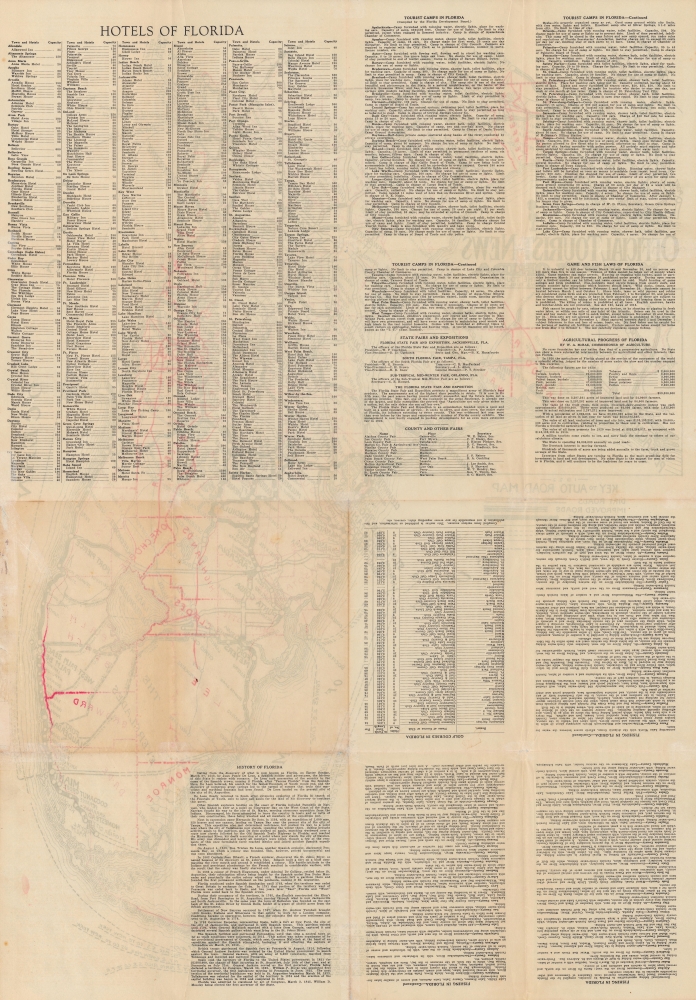
Florida is displayed with borders between counties marked out in red dashed lines, and with the Panhandle appearing in an inset towards top-left. Roads of various capacities and quality are included, from highways to unfinished, unimportant, and dirt roads. Railroads and steamship lines are also noted, as are lakes, rivers, canals, and cities. On the verso, a great deal of information on hotels and tourist camps is included, along with brief descriptions of the state's economy, history, fairs and expositions, golf courses, and laws around hunting and fishing.Florida Land Boom
In the second half of the 19th and throughout the early 20th century, Florida experienced a series of land booms and crashes; the most well-known of these occurred in the 1920s. The collapse of a previous land boom that established Florida as a center for the citrus industry in the 1880s - 1890s allowed for the easy acquisition of large tracts of land at cut-rate prices. Industrialist and founder of Standard Oil Henry Flagler (1830 - 1913) seized the opportunity to build his Florida East Coast Railway and extend it to the region that would develop into Miami and other communities on the state's southeastern coast.Flagler and other boosters of the region successfully promoted it as a paradisical escape from the grimy cities and cold weather of New England and the Mid-Atlantic. Land prices shot up at an astronomical rate and developers carved entirely new cities out of wetlands in mere months. In addition to Flagler's railway, the arrival of the highway system in the 1920s made the region more easily accessible. But the speculation around land prices in Florida had reached irrational heights, and the damage caused by two hurricanes followed by the financial crash of 1929 led to a collapse in the real estate market, ruining many investors in the process.
Publication History and Census
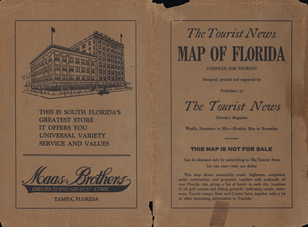
This map was produced by the Tourist News Publishing Co., a short-lived (c. 1922 - 1924) operation based in St. Petersburg. It is undated, but from context (such as the lack of Collier and Hendry Counties in the southwestern part of the state) can be dated to 1922 or earlier. The map is quite scarce, with the only other known example held by the Tampa Bay History Center's Touchton Map Library.Condition
Average; original fold lines visible, several closed tears at margins extending 2-3 inches into the map. Reinforced and professionally repaired splits at fold intersections.
References
Touchton Map Library Accession Number L2019.065.003.