This item below is out of stock, but another example (left) is available. To view the available item, click "Details."
Details
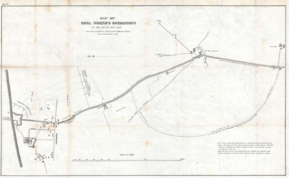
1847 Hardcastle Map of General Worth's Division at the Battle of Churubusco
$250.00
1847 Hardcastle Map of General Worth's Division at the Battle of Churubusco
GenWorthAug20-hardcastle-1847
Title
1847 (dated) 19 x 31.25 in (48.26 x 79.375 cm) 1 : 4500
Description
This map was drawn by Lieutenant Edmund La Fayette Hardcastle and published in a U.S. government report in 1847. Of the maps from this report that we have acquired, this appears to be one of the rarest, as it only appears in a handful of institutional collections and rarely appears on the private market.
Cartographer
Edmund La Fayette Hardcastle (October 18, 1824 - August 11, 1899) was an American military officer, politician, and businessman. Born in Denton, Maryland, Hardcastle attended the Unites States Military Academy at West Point from 1842 - 1846, after which he was commissioned a Brevet Second Lieutenant in the Army Corps of Topographical Engineers. He was immediately assigned to the United States Coast Survey, but was soon transferred to participate in the Mexican American War. Hardcastle saw action I the Siege of Vera Cruz, the Battle of Cerro Gordo, the Skirmish of Amazoque, the capture of San Antonio, the Battle of Churubusco, the Battle of Molino del Rey, the Battle of Chapultepec, and the assault and capture of Mexico City. He was twice promoted for meritorious conduct on the battlefield, once after the battles of Contreras and Churubusco, Gand again following the Battle of Molino del Rey, attaining the rank of Brevet Captain. After the war, he held the position fo Assistant in the Topographical Bureau at Washington, D.C., and also was a member of the Mexican Boundary Survey from February 1849 until June 1852. Hardcastle finally received his formal commission as a Second Lieutenant in the Topographical Engineers on September 26, 1849. He then served as the Engineer Secretary of the Light-house Board at Washington, D.C. from October 1852 until April 30, 1856 when he resigned his commission. Hardcastle returned home to Maryland, where he began farming in Talbot County. He served on several boards and as president of the Maryland and Delaware Railroad Company in 1868. He also served as a member of the House of Delegates of the Maryland Legislature from 1870 until 1878. Edmund Hardcastle passed away at Towson, Maryland on August 11, 1899. More by this mapmaker...

