This copy is copyright protected.
Copyright © 2025 Geographicus Rare Antique Maps
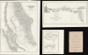
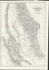
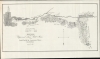
Digital Image: 1848 Ord Maps of the Gold Discoveries in California (3 maps)
GoldRegionCalifornia-ord-1848_d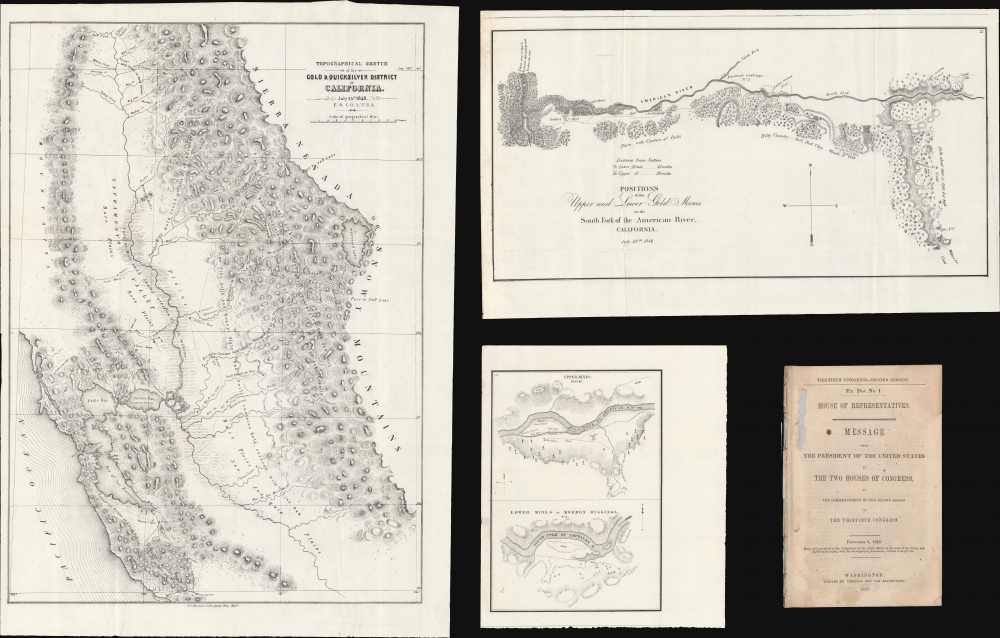


FOR THE ORIGINAL ANTIQUE MAP, WITH HISTORICAL ANALYSIS, CLICK HERE.
Digital Map Information
Geographicus maintains an archive of high-resolution rare map scans. We scan our maps at 300 DPI or higher, with newer images being 600 DPI, (either TIFF or JPEG, depending on when the scan was done) which is most cases in suitable for enlargement and printing.
Delivery
Once you purchase our digital scan service, you will receive a download link via email - usually within seconds. Digital orders are delivered as ZIP files, an industry standard file compression protocol that any computer should be able to unpack. Some of our files are very large, and can take some time to download. Most files are saved into your computer's 'Downloads' folder. All delivery is electronic. No physical product is shipped.
Credit and Scope of Use
You can use your digial image any way you want! Our digital images are unrestricted by copyright and can be used, modified, and published freely. The textual description that accompanies the original antique map is not included in the sale of digital images and remains protected by copyright. That said, we put significant care and effort into scanning and editing these maps, and we’d appreciate a credit when possible. Should you wish to credit us, please use the following credit line:
Courtesy of Geographicus Rare Antique Maps (http://www.geographicus.com).
How Large Can I Print?
In general, at 300 DPI, you should at least be able to double the size of the actual image, more so with our 600 DPI images. So, if the original was 10 x 12 inches, you can print at 20 x 24 inches, without quality loss. If your display requirements can accommodate some loss in image quality, you can make it even larger. That being said, no quality of scan will allow you to blow up at 10 x 12 inch map to wall size without significant quality loss. For more information, it is best consult a printer or reprographics specialist.
Refunds
If the high resolution image you ordered is unavailable, we will fully refund your purchase. Otherwise, digital images scans are a service, not a tangible product, and cannot be returned or refunded once the download link is used.
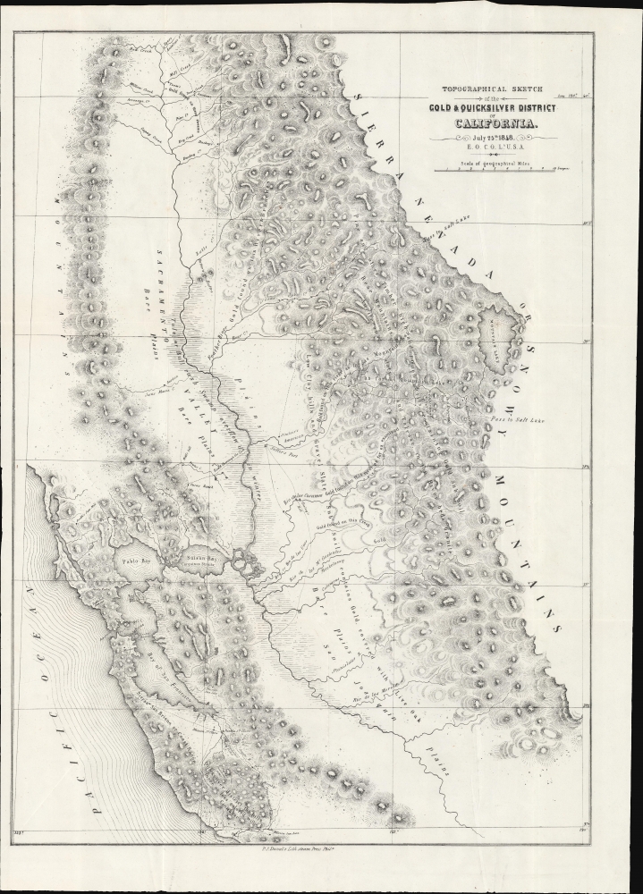
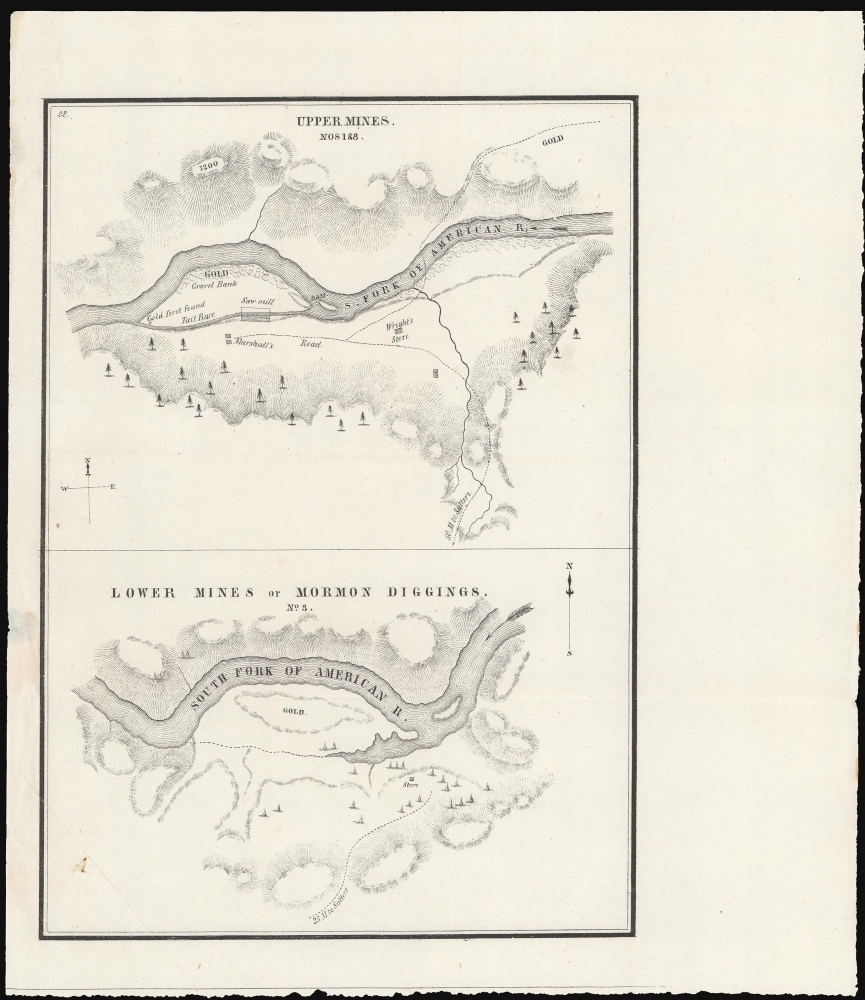
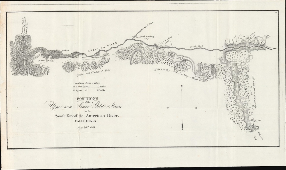
Edward Otho Cresap Ord (October 18, 1818 - July 22, 1883) was an American army officer and engineer active in California in the mid to late 19th century. He was born in Cumberland, Maryland. According to family lore, his father, James Ord, was the illegitimate son of British monarch George VI and Maria Fitzherbert. He showed an early proficiency in mathematics, some calling him a genius, and in 1839 he graduated from West Point with an engineering degree. As it so happened, his West Point roommate was none other than William Tecumseh Sherman. He was commissioned as a Lieutenant in the 3rd U.S. Artillery, with whom he saw action in the Second Seminole War (1835 - 1842). After the Mexican-American War (1846 - 1848) Ord sailed on the USS Lexington via Cape Horn to the newly acquired territory of California - accompanying him were his West Point roomies Henry Halleck and William Tecumseh Sherman. They arrived just in time for the Gold Rush. Ord produced a seminal map of the Gold and Quicksilver district of California dated July 25, 1848 - the first published map of the California Gold Region. Later in the fall of 1848, Ord and Sherman, working for John Augustus Sutter, Jr., assisted the U.S. Army Corps of Engineers in a detailed survey of Sacramento - instrumental in creating that city's downtown grid. He went on to do survey work in the vicinity of Los Angeles and the Pacific Northwest. At the outbreak of the American Civil War (1861 - 1865), Ord was serving as Captain of Battery C, 3rd U.S. Artillery, and also as post commander at the U.S. Army's Fort Vancouver in Washington Territory. Returning east to fight in the war, he was assigned brigade commander of the Pennsylvania Reserves. He served with distinction through the war, seeing action at Dranesville, Hatchie Bridge, Luka, and Vicksburg, Crater, and Fort Harrison, where he was wounded. At the end of the Civil War, in 1865, Ord was assigned to investigate Confederate involvement in the assassination of Abraham Lincoln. By this time, Ord was a Major General. He retired from the army in 1881 to take a position under U. S. Grant as a civil engineer on the Mexican Southern Railroad. During this assignment, Ord's daughter, Roberta, married prominent Mexican general Jerónimo Treviño. Also in Mexico, Ord contracted yellow fever and died on his way home during a stopover in Havanna, Cuba. More by this mapmaker...
Peter Stephen Duval (1804 - February 8, 1886) was a prominent Philadelphia lithographer. He immigrated to Philadelphia from France in 1831 to take a job as a lithographer at the Philadelphia firm owned by Cephas Childs. In 1837, Childs retired and Duval took over the business. Over the course of the next thirty years, Duval would have several business partners including the Swiss-American engravers Charles and Frederick Bourquin (1808 - 1897). In 1857 his son Steven C. Duval joined the business. Peter Duval retired in 1869 but continued to be involved in his company until his death in 1886. Learn More...
Copyright © 2025 Geographicus Rare Antique Maps | Geographicus Rare Antique Maps
This copy is copyright protected.
Copyright © 2025 Geographicus Rare Antique Maps