Digital Image: 1920 Moro Map of Chaco Province, Argentina
GuiaChacoTerritorio-moro-1920_d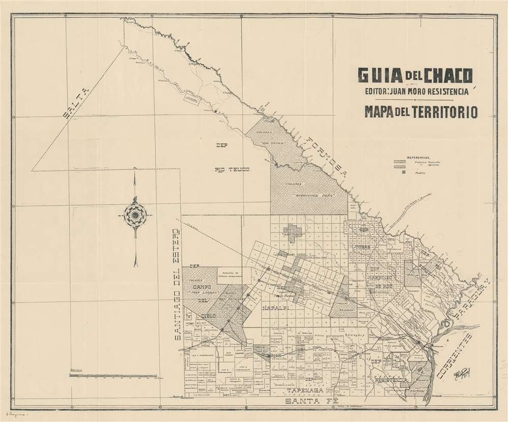

Title
Guia del Chaco. Mapa del Territorio.
1920 (undated) 19.75 x 24 in (50.165 x 60.96 cm) 1 : 1000000
1920 (undated) 19.75 x 24 in (50.165 x 60.96 cm) 1 : 1000000
Description
FOR THE ORIGINAL ANTIQUE MAP, WITH HISTORICAL ANALYSIS, CLICK HERE.
Digital Map Information
Geographicus maintains an archive of high-resolution rare map scans. We scan our maps at 300 DPI or higher, with newer images being 600 DPI, (either TIFF or JPEG, depending on when the scan was done) which is most cases in suitable for enlargement and printing.
Delivery
Once you purchase our digital scan service, you will receive a download link via email - usually within seconds. Digital orders are delivered as ZIP files, an industry standard file compression protocol that any computer should be able to unpack. Some of our files are very large, and can take some time to download. Most files are saved into your computer's 'Downloads' folder. All delivery is electronic. No physical product is shipped.
Credit and Scope of Use
You can use your digial image any way you want! Our digital images are unrestricted by copyright and can be used, modified, and published freely. The textual description that accompanies the original antique map is not included in the sale of digital images and remains protected by copyright. That said, we put significant care and effort into scanning and editing these maps, and we’d appreciate a credit when possible. Should you wish to credit us, please use the following credit line:
Courtesy of Geographicus Rare Antique Maps (http://www.geographicus.com).
How Large Can I Print?
In general, at 300 DPI, you should at least be able to double the size of the actual image, more so with our 600 DPI images. So, if the original was 10 x 12 inches, you can print at 20 x 24 inches, without quality loss. If your display requirements can accommodate some loss in image quality, you can make it even larger. That being said, no quality of scan will allow you to blow up at 10 x 12 inch map to wall size without significant quality loss. For more information, it is best consult a printer or reprographics specialist.
Refunds
If the high resolution image you ordered is unavailable, we will fully refund your purchase. Otherwise, digital images scans are a service, not a tangible product, and cannot be returned or refunded once the download link is used.
Cartographer
Juan Moro (September 7, 1869 - June 28, 1953) was an Italian printer and publisher who was active in Resistencia, Argentina. Born in Marbegno, Lombardy in Italy, Moro attended the Central School of Turin before emigrating to Argentina in 1887. His first job in Argentina was with a small printing firm in Buenos Aires before he found a position in the workshops of the South American Bank Company. He moved to Resistencia, in Chaco Province, 1901. Once in Resistencia he opened his own printing and bookstore on February 28, 1901. He soon gained the friendship and trust of the governor of Chaco, Enrique Luburiaga, who trusted Moro with delicate printing projects. Moro built a new building for his firm which opened in 1906, equipped with modern machines and became one of the best equipped houses in northern Argentina. Moro's firm published newspapers, magazines, memoirs, official bulletins, and the work of numerous authors from Chaco. Beginning in 1920, Moro published the Annual Guide of the Chaco (Guia Annual del Chaco), which then appeared in subsequent editions in 1921, 1922, 1923, 1924, 1925-26, and 1935-36. Moro died in Resistencia in 1953. More by this mapmaker...