This copy is copyright protected.
Copyright © 2025 Geographicus Rare Antique Maps
1950 Takaoa Japanese Panorama Map of Hakone, Japan
Hakone-takaoa-1950s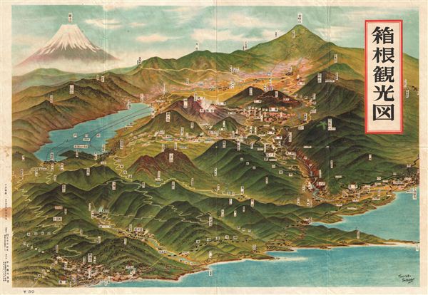

Copyright © 2025 Geographicus Rare Antique Maps | Geographicus Rare Antique Maps
This copy is copyright protected.
Copyright © 2025 Geographicus Rare Antique Maps