This copy is copyright protected.
Copyright © 2024 Geographicus Rare Antique Maps
1956 Rifaat Bilingual Pictorial Map of Iraq
IllustratedIraq-rifaat-1956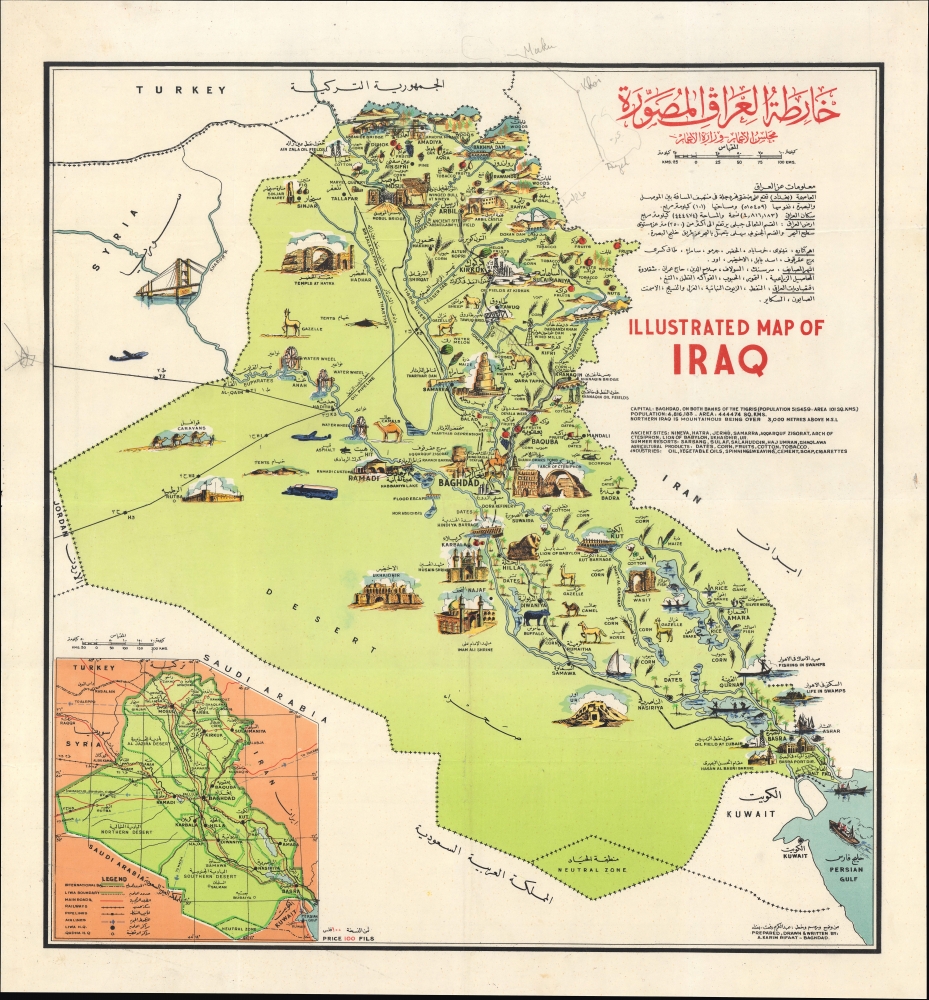

Copyright © 2024 Geographicus Rare Antique Maps | Geographicus Rare Antique Maps
This copy is copyright protected.
Copyright © 2024 Geographicus Rare Antique Maps