This copy is copyright protected.
Copyright © 2025 Geographicus Rare Antique Maps

Details
1970 Map of Kathmandu, Nepal
1970 (undated) $700.00
1973 Department of Tourism City Map or Plan of Kathmandu, Nepal
Kathmandu-tourism-1973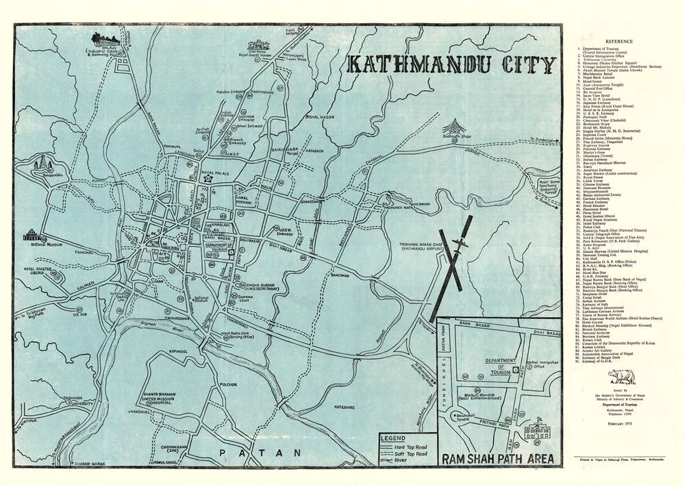

Copyright © 2025 Geographicus Rare Antique Maps | Geographicus Rare Antique Maps
This copy is copyright protected.
Copyright © 2025 Geographicus Rare Antique Maps