Digital Image: 1845 Andrew Gray Map of Western Lake Superior
LakeSuperior-gray-1845_d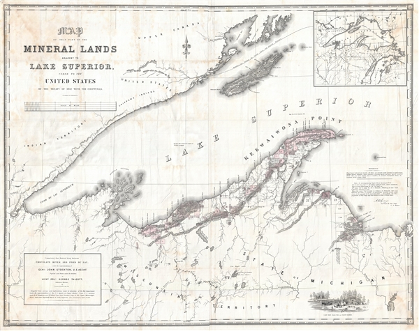

Description
FOR THE ORIGINAL ANTIQUE MAP, WITH HISTORICAL ANALYSIS, CLICK HERE.
Digital Map Information
Geographicus maintains an archive of high-resolution rare map scans. We scan our maps at 300 DPI or higher, with newer images being 600 DPI, (either TIFF or JPEG, depending on when the scan was done) which is most cases in suitable for enlargement and printing.
Delivery
Once you purchase our digital scan service, you will receive a download link via email - usually within seconds. Digital orders are delivered as ZIP files, an industry standard file compression protocol that any computer should be able to unpack. Some of our files are very large, and can take some time to download. Most files are saved into your computer's 'Downloads' folder. All delivery is electronic. No physical product is shipped.
Credit and Scope of Use
You can use your digial image any way you want! Our digital images are unrestricted by copyright and can be used, modified, and published freely. The textual description that accompanies the original antique map is not included in the sale of digital images and remains protected by copyright. That said, we put significant care and effort into scanning and editing these maps, and we’d appreciate a credit when possible. Should you wish to credit us, please use the following credit line:
Courtesy of Geographicus Rare Antique Maps (http://www.geographicus.com).
How Large Can I Print?
In general, at 300 DPI, you should at least be able to double the size of the actual image, more so with our 600 DPI images. So, if the original was 10 x 12 inches, you can print at 20 x 24 inches, without quality loss. If your display requirements can accommodate some loss in image quality, you can make it even larger. That being said, no quality of scan will allow you to blow up at 10 x 12 inch map to wall size without significant quality loss. For more information, it is best consult a printer or reprographics specialist.
Refunds
If the high resolution image you ordered is unavailable, we will fully refund your purchase. Otherwise, digital images scans are a service, not a tangible product, and cannot be returned or refunded once the download link is used.
Cartographer S
Andrew Belcher Gray (July 6, 1820–April 16, 1862) was an American surveyor active in the 20 years prior to the American Civil War. Gray was born in Norfolk Virginia. He studied surveying under Andrew Talcott and assisted him in 1839 surveying the Mississippi River Delta. He then joined the Republic of Texas Navy as a midshipman. He was assigned to survey the Texas –U.S. boundary under Memucan Hunt. Later, from 1844 – 1846 he led a team surveying the Keweenaw Peninsula in Michigan in search of mineral resources. Gray returned to Texas to take part in the Mexican-American War and after the war was assigned to the U.S.-Mexican Border Commission. After a dispute with is commander, John Bartlett, he was dismissed form the commission only to be replaced by his friend, William Emory. Although Emory's name is on the work, Gray surveyed much of the border from the Rio Grande, over the Black Range, down the Gila River to its junction with the Colorado River, and across the desert of southern California to the Pacific Ocean at San Diego. Having accompanied the border commission as far as San Diego Bay, Gray took part in the founding of modern San Diego, California. In 1852 he took work with the Texas Western Railroad and surveyed tracks from San Antonio towards the Colorado River. With the outbreak of the American Civil War, Gray joined the Confederate Army and worked as an engineer fortifying the Mississippi River. He died in 1862 1862 when the boiler of a steamboat he was traveling on exploded. He was survived by a wife and three daughters. More by this mapmaker...
George Talcott (December 6, 1786 – April 25, 1862) was an American surveyor and military officer active during the first half of the 19th century. Talcott was born into a Connecticut farming family. He joined the U.S. Army with a rank of Second Lieutenant in 1813. Talcott was transferred to the Ordnance Corps, where he rose rapidly through the ranks. Talcott was an able officer but twice ran afoul of his superiors. The first time occurred when he had a deserter under his command horsewhipped, a punishment Talcott considered a mercy. He was nonetheless brought up on charges of having cruelly abused a prisoner. These charges were dismissed much to the consternation of his superior officer. Despite a narrowly avoided court martial, Talcott continued to rise through the ranks becoming, in 1848 Chief of the Ordnance and, shortly thereafter, Brevet Brigadier General. In 1851 Talcott again fell out with his superiors, this time the Secretary of War Charles Magill Conrad (December 24, 1804 – February 11, 1878). With the Civil War brewing and hostilities increasing between the northern and southern states, Conrad took offense that Talcott awarded a munitions contract to a southern supplier. This second court martial resulted in Talcott being dismissed from his post and from the Army itself. Talcott died 10 years later on April 25 of 1862. George Talcott should not be confused with Andrew Talcott, an unrelated American military surveyor active during the same period. Learn More...
Source
Doc. No. 211: Mineral Lands on Lake Superior, War Department, 1846.
References
Boston Public Library, Leventhal Center, G4112.U6H1 1845. OCLC 263694091.