This copy is copyright protected.
Copyright © 2025 Geographicus Rare Antique Maps
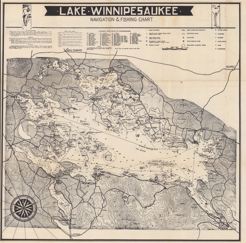
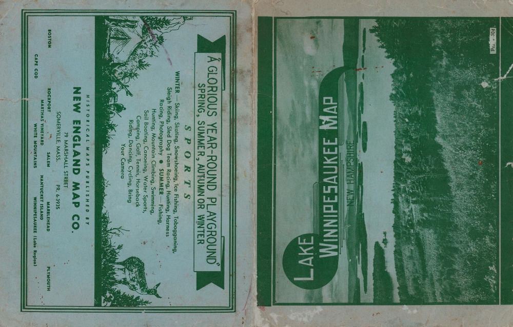
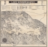
1960 New England Map Co. Pictorial Bird's Eye View Map of Lake Winnipesaukee
LakeWinnipesaukee-newengmapco-1960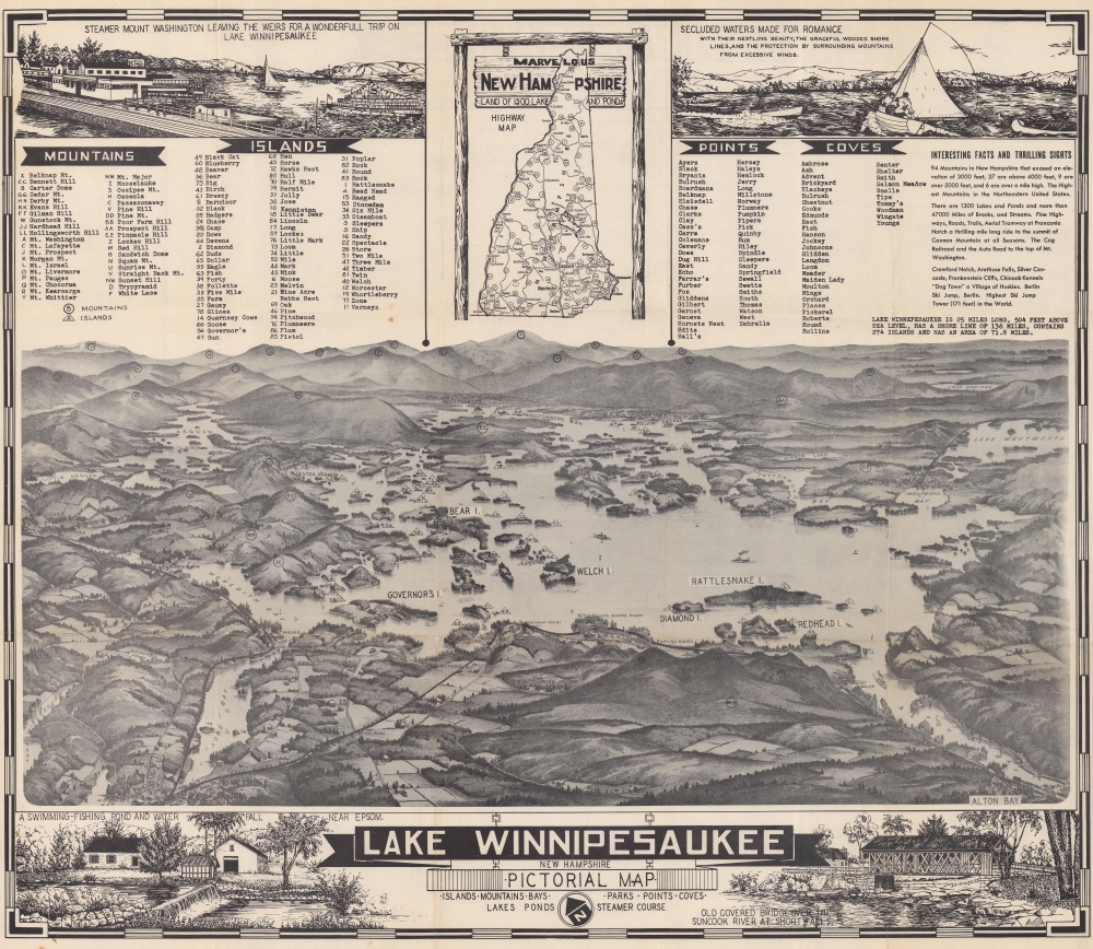

Copyright © 2025 Geographicus Rare Antique Maps | Geographicus Rare Antique Maps
This copy is copyright protected.
Copyright © 2025 Geographicus Rare Antique Maps