This copy is copyright protected.
Copyright © 2025 Geographicus Rare Antique Maps
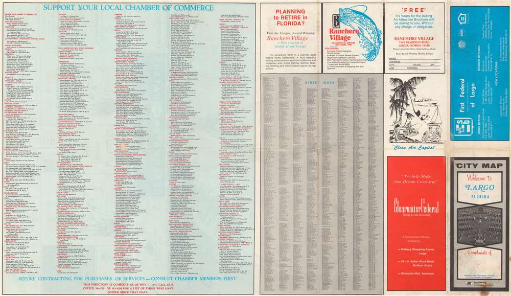
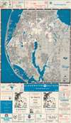
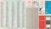
1974 J and R Map Company City Plan or Map of Largo, Florida, and Environs
LargoFlorida-jrmapco-1974

Copyright © 2025 Geographicus Rare Antique Maps | Geographicus Rare Antique Maps
This copy is copyright protected.
Copyright © 2025 Geographicus Rare Antique Maps