This item has been sold, but you can get on the Waitlist to be notified if another example becomes available, or purchase a digital scan.
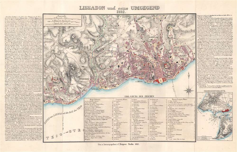
1832 Brugner City Plan or Map of Lisbon, Portugal
Lissabon-brugner-1832$325.00

Title
Lissabon und seine Umgegend.
1832 (dated) 16.75 x 27 in (42.545 x 68.58 cm) 1 : 22000
1832 (dated) 16.75 x 27 in (42.545 x 68.58 cm) 1 : 22000
Description
This is a rare 1832 C. Brügner city plan or map of Lisbon, Portugal, and environs. Depicting the central Lisbon from Belem to Alfalma, locations throughout are identified alphabetically and numerically. Uppercase letters mark important buildings: eg. the hospital, schools, and zoo. Lowercase letters identify public plazas. Coded typefaces label locations, with italicized numbers for churches, and non-italicized numbers for convents. German text along the left and right provide information about the city. Cartographically it is derived from the great Jozé Fava plan of 1831 - the definitive plan of Lisbon until the late 19th century.
Publication History and Census
This map was created by C. Brügner and published in Berlin in 1832. We note a single example cataloged in OCLC, part of the collection at the Bibliothèque National Universitaire de Strasbourg. A second OCLC entry appears for a map of the same title a at The British Library, but is dated as 1852. We suspect that this is in fact the present map just with a misread (or even mistyped) publication date. Unfortunately, the map in question has not been digitized, so we are unable to confirm.Condition
Very good. Light wear along original centerfold.
References
OCLC 865087711, 556351511.

