This item has been sold, but you can get on the Waitlist to be notified if another example becomes available, or purchase a digital scan.
1493 Hartmann Schedel Lyon, France
Lyon-schedel-1493
Title
1493 (undated) 14.25 x 9 in (36.195 x 22.86 cm)
Description
A Closer Look
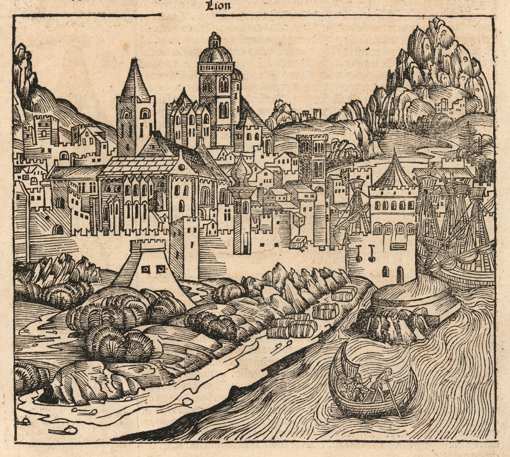
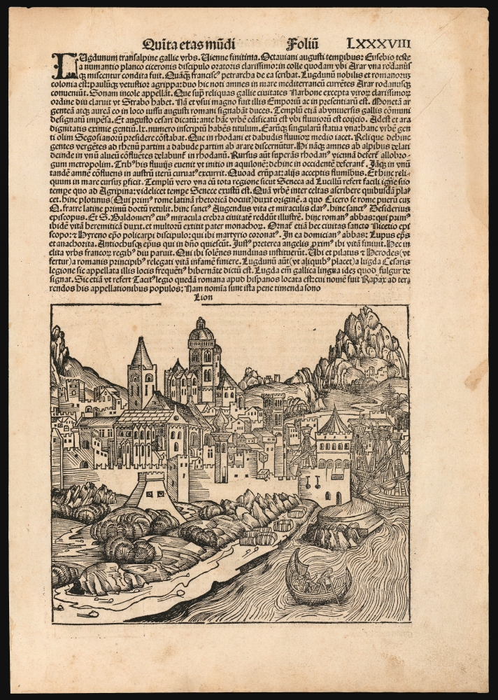
This woodcut presents a medieval walled city on the banks of a river, amongst craggy mountains; a boat can be seen in the foreground being poled across the current, and an array of ships' masts appear nestled under the city walls. Bales or barrels of cargo are illustrated along the shore, awaiting transport. Other towns and forts can be spied among the peaks in the background.The lively detail of the view belies the likelihood that the Nuremberg formschneider responsible for the woodcut probably had never seen Lyon, but perhaps only knew of the city's situation near the mountains at the confluence of the Saône and Rhône rivers. The accompanying Latin text does not refer to the rivers by their modern names, but by their ancient names - the Arar and Rodannus. This was appropriate to the context in which the view occurred: the description of Lyon appears in the Chronicle in the section entitled Quinta etas mundi, which discussed the 'fifth age of the world.' This spanned from the Babylonian Captivity to the birth of Jesus Christ. Consequently the discussion of the city focuses on the Roman era, citing the reports of classical scholars including Seneca, Eusebius, Lucullus, and later commentators such as Petrarch.
Verso Text
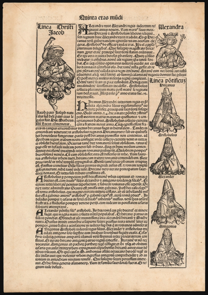
The verso text focuses on the kingdom of Alexander Jannaeus and the successive High Priests of Judaea from about 103 to 37 BCE, including Salome Alexandra, who reigned queen consort of Judaea from 76 to 67 BCE (One of three women to rule over Judea). Alexandra and the High Priests are depicted in woodcuts on the verso.The Nuremberg Chronicle
Schedel's Liber Chronicarum, the Nuremberg Chronicle, was a medieval work at heart: it paraphrased biblical sources to describe from the creation of the world up to the life of Christ, then drawing on later classical and medieval sources to bring the account current to the 15th century. It was the first printed work to be abundantly illustrated. Its many woodcuts were overseen by Michael Wolgemut and his stepson Wilhelm Pleydenwurff. Wohlgemut was Albrecht Dürer's tutor between 1486-90, and it is believed that Dürer himself collaborated on many of the cuts. Although few of them show evidence of firsthand knowledge of their subjects, the city views of the Chronicle represent the earliest printed images of the cities they purport to depict.Publication History and Census
This map appeared in the 1493 Latin edition of Schedel's Liber Chronicarum, published by Anton Koberger, in Nuremberg. It is believed that about 1,400 to 1,500 Latin and 700 to 1,000 German copies were printed. The book is reasonably well represented in institutional collections in its two editions. Separate leaves can be found on the market from time to time.Cartographer
Hartmann Schedel (February 13, 1440 - November 28, 1514) was a German historian, physician, book collector, and humanist. He was among the first to reproduce a map using the printing press. He was born and died in Nuremberg. Little is known of his youth or education, although it is understood that the professor of philosophy and medicine, Matheolus Perusinus, was his tutor; he is thought to have studied in the university at Florence. Schedel is remembered for having written the 1493 Nuremberg Chronicle (Schedelsche Weltchronik in German, Liber Cronicarum in Latin.) As per its title, the book is a chronicle: it begins with a restatement of Biblical history reaching back to Creation before addressing the ancient world following the Biblical era, and recording more contemporary history - followed by a handful of pages left blank, in order that the reader should record the few years left of this sixth age of the world prior to the book's description of the seventh age of the world, that is to say the end of the world as presented in the Bible. Despite its adherence to this medieval form, the work would be the most lavishly illustrated work at the dawn of the Age of Discovery, and was an important conduit for the spread of humanistic learning north of the Alps. It included one of the first printed world maps, an excellent map of central Europe, and 29 full page city views representing the earliest realistic printed images of the cities they represented. Schedel was also a noted book and art collector: his private library is preserved in the Bayerische Staatsbibliothek in Munich, Germany. More by this mapmaker...


