This item has been sold, but you can get on the Waitlist to be notified if another example becomes available.
1972 NASA Shaded Relief Map of Mars - Mariner 9 Mission
MarsShadedRelief-nasa-1972$150.00

Title
Shaded Relief Map of Mars.
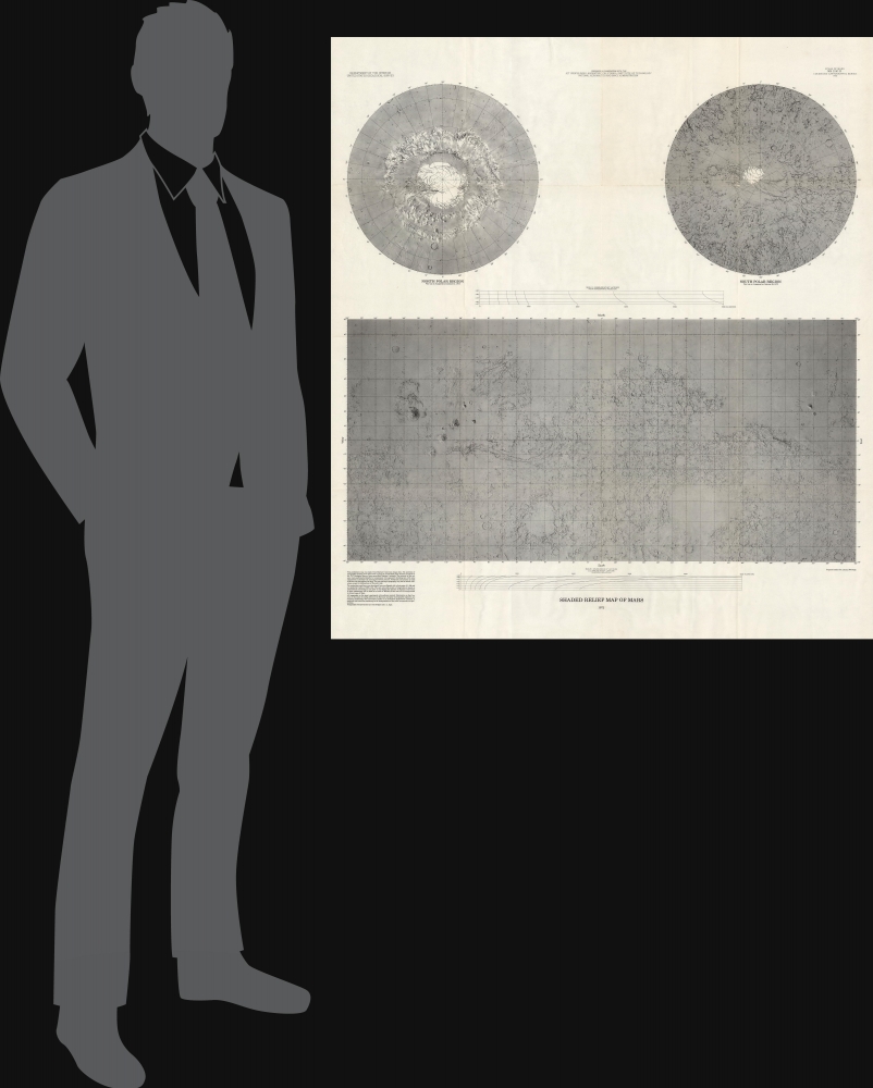
1972 (dated) 39.75 x 35.75 in (100.965 x 90.805 cm) 1 : 25000000
1972 (dated) 39.75 x 35.75 in (100.965 x 90.805 cm) 1 : 25000000
Description
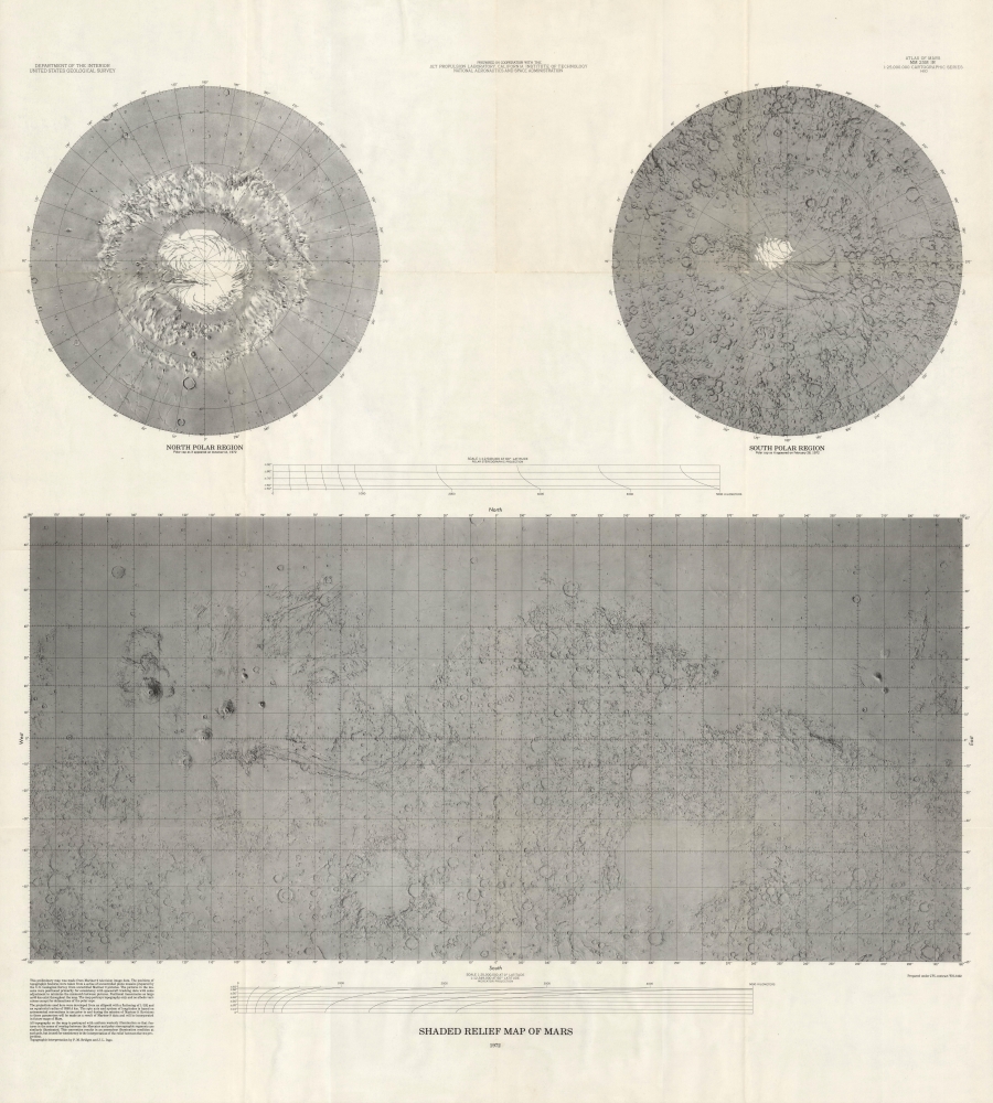
This is a striking 1972 terrestrial relief map of Mars issued from photogeological data collected by the Mariner 9 Mission. The map is a groundbreaking achievement of planetary mapping, completed through a collaborative effort from the Jet Propulsion Laboratory, the California Institute of Technology, and NASA.
A Closer Look
The map is divided into three sections. At top are northern and southern polar projections, illustrating the Red Planet's famous icecaps as of October 12, 1972 (North) and February 28, 1972 (South). Below is a Mercator Projection focused on the equator extending to 65° North and South, thus overlapping somewhat with the polar projections above. As stated on the map,This preliminary map was made from Mariner 9 television image data. The positions of topographic features were taken from a series of uncontrolled photo mosaics prepared by the U.S. Geological Survey from unrectified Mariner 9 pictures. The pictures in the mosaics were positioned primarily for consistency with spacecraft tracking data with some adjustment to minimize the mismatch between pictures. Positional inaccuracies as large as 60 km exist throughout the map. The map portrays topography only and no albedo variations except for delineations of the polar caps.
Mariner 9
Mariner 9 was a groundbreaking NASA mission, launched on May 30, 1971, that became the first spacecraft to orbit another planet when it successfully entered orbit around Mars on November 14, 1971. Its mission was to map the Martian surface, study its atmosphere, and provide detailed imagery of the planet's features. Mariner 9 exceeded expectations by sending back over 7,300 images, revealing a planet with vast canyons, ancient riverbeds, and massive volcanoes. It also documented a global dust storm, offering unprecedented insights into Martian weather patterns. Mariner 9's success paved the way for future Mars exploration, significantly advancing our understanding of the Red Planet.Publication History and Census
This map was published by a collaboration of governmental and private organizations, including NASA, the U.S. Geological Survey, the Jet Propulsion Laboratory, and the California Institute of Technology. The topographic data was interpreted by P. M. Bridges and Jay L. Inge. Well represented in institutional collections.Cartographer
The United States Geological Survey (1878 - Present), aka the U.S.G.S., is a scientific agency of the United States government, which was founded in 1879. USGS scientists study the landscape of the United States, its natural resources, and the natural hazards that threaten it. The organization has four major science disciplines: biology, geography, geology, and hydrology. It is a bureau of the United States Department of the Interior and is the department's only scientific agency. More by this mapmaker...
Condition
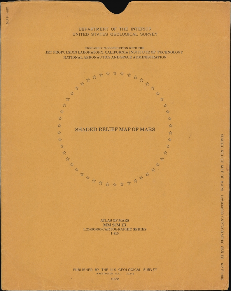
Very good. Slight wear on original fold lines. Accompanies original slipcase.
References
OCLC 9821240.


