This copy is copyright protected.
Copyright © 2024 Geographicus Rare Antique Maps

Details
1834 Burr Map of Australia and New Zealand
1834 (dated) $350.00
1942 or Showa 17 Japanese Land Survey Map of the North Island of New Zealand
NewZealand-japanese-1942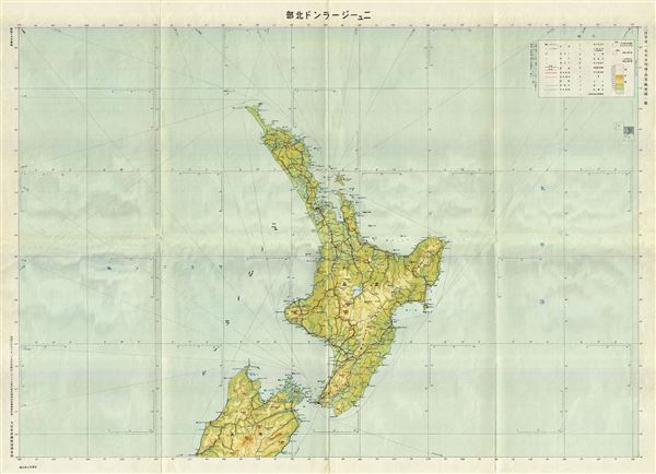

Copyright © 2024 Geographicus Rare Antique Maps | Geographicus Rare Antique Maps
This copy is copyright protected.
Copyright © 2024 Geographicus Rare Antique Maps