This copy is copyright protected.
Copyright © 2025 Geographicus Rare Antique Maps
1943 or Showa 18 World War II Era Japanese Map of New Zealand
NewZealand-showa18-1943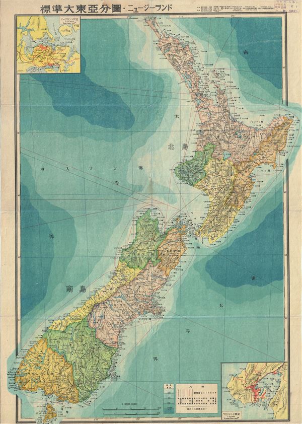

Copyright © 2025 Geographicus Rare Antique Maps | Geographicus Rare Antique Maps
This copy is copyright protected.
Copyright © 2025 Geographicus Rare Antique Maps