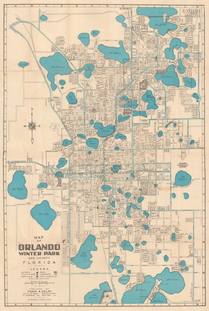
This is a c. 1961 Frank Dolph city plan or map of Orlando and Winter Park, Florida. The map captures the calm before the storm when the region was developing a modest tourism industry but before the explosive changes wrought by Disney World (W.D. purchased the land for Disney World in 1965, and construction began in 1969).
A Closer Look
The map depicts Orland and Winter Park from Lake Maitland south to Lake Mary and Lake Conway and from Lake Manns east to Lakemont Avenue. Golf courses, parks, lakes, and few hotels are identified. Winter Park landmarks, including the Mead Botanical Garden and Rollins College, are highlighted. The Atlantic Coast Line Railroad here runs through both Orlando and Winter Park. The Orlando Commercial Airport appears along the right side, and Orlando's 'new' airport (now known as Orlando International Airport) is just outside the region depicted.Orlando before Disney
In 1960, Orlando and Winter Park, Florida, were thriving yet distinct communities. Orlando, still a small city, was primarily known for its agriculture, military presence, and tourism, with citrus farming being a major industry alongside McCoy Air Force Base (Orlando International Airport). The city had a modest downtown centered around Orange Avenue, with department stores, restaurants, and theaters catering to locals. Just a few miles north, Winter Park maintained its reputation as a more affluent, culturally refined area, anchored by Rollins College, Florida's oldest private college. The city's scenic lakes, oak-lined streets, and historic homes gave it a distinct charm, attracting wealthy seasonal residents from the North. Both cities were on the cusp of significant transformation, as the decade would soon bring major infrastructure projects, suburban expansion, and - by the late 1960s - the announcement of Walt Disney World, which would forever change Central Florida's trajectory.Publication History and Census
This map was created and published c. 1961 by Frank B. Dolph after the new Orlando airport opened. This is the only known cataloged surviving example.
Cartographer
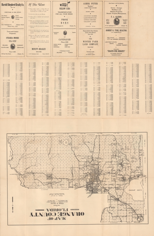
Frank B. Dolph (October 3, 1897 - November 26, 1975) was an American businessman and map publisher. Born in Great Neck, Long Island, New York, Dolph served as a Navy storekeeper during World War I. He began selling maps in 1919 after returning from England, likely for the George F. Cram Company, where he ultimately became an administrative aide. He also worked for the Rand McNally Company for some time before he founded his own map publishing firm, Dolph and Stewart, with his friend, sometime in the 1920s. Dolph and Stewart made maps throughout the 1920s and 1930s until they sold the firm in 1945 when Dolph decided to return to Florida. Dolph opened a new map publishing business, the Frank B. Dolph Map Co. in Ft. Lauderdale and published city plans of cities throughout the United States. Many of his maps were distributed by Chambers of Commerce or sold at newsstands. Real estate developers greatly appreciated his maps, those published by both the Dolph and Stewart Company and the Frank B. Dolph Company. Dolph retired as president of his firm around 1965, when he handed the business off to his son, Frank B. Dolph, Jr. Dolph worked with cartographer Theodore M. Politano for decades while operating the Frank B. Dolph Map Company. More by this mapmaker...
Good. Wear along original fold lines. Verso repairs to fold separations. Slight loss at a few fold intersections. Light soiling.