This is a c. 1928 A. Leconte pictorial monumental map of Paris, France. The map highlights monuments and other attractions throughout the City of Light, as well as the city's growing Metro network.
A Closer Look
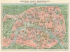
Monuments throughout Paris are pictorially illustrated, providing tourists with a better understanding of where the landmarks are. Among these are the Eiffel Tower, the Arc de Triomphe, the Louvre, the Opéra, the Madeleine, and the Panthéon. Paris' many parks are also illustrated in detail, including the Jardin des Tuileries, the Jardin du Luxembourg, the Jardin des Plantes, and the Parc des Buttes-Chaumont. Blue lines trace the evolving Paris Metro with blue text labeling stops. Paris' suburbs appear as idyllic green fields surrounding the center, with the Bois de Boulogne just outside the city walls.Verso Content
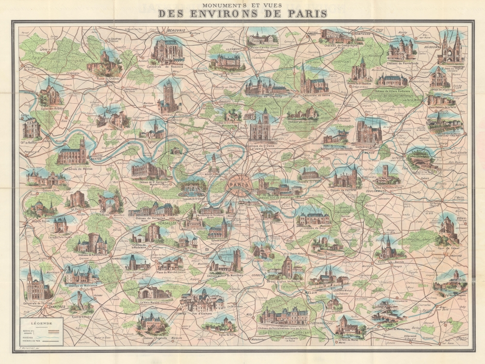
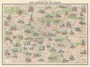
A broader pictorial map of monuments in Paris' environs occupies the verso. These include cathedrals, chateaux, chapels, and bridges. Among the most famous are the Chartres Cathedral, the Château de Fontainebleau, the Château de Versailles, and the Château Fort de Vincennes.Dating This Piece
We have dated this map based on the depiction of the Paris Metro. Line 8 was extended from Opéra to Richelieu-Druout in June 1928, which is reflected here. The Nord-Sud Company is also still referenced. The CMP, or Compagnie du chemin de fer métropolitain de Paris (which was the name of the company that initially operated most of the network) bought the Nord-Sud Company in 1930 and incorporated their two lines into the CMP network.Publication History and Census
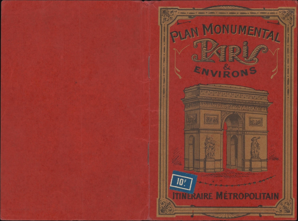
This map was published in various editions from roughly 1900 to the 1960s, initially by Garnier Frères and then by André Leconte. The monumental map was engraved by L. Poulmaire, printed by the Imprimerie Dufrénoy, and edited and published by A. Leconte c. 1928.
CartographerS
André Leconte (fl. 1880 - 1930) was a Paris based guidebook and map publisher active in the latter part of the 19th and early 20th centuries. He is one of the publishers of the attractive art nouveau style "Nouveau Paris Monumental" series. Leconte is often associated with L. Guilmin, another Paris based map publisher of the same period. Early in World War II (1939 - 1945) the firm published anti-German propaganda, but briefly shut down operations during the occupation. Leconte's name appears on maps and guidebooks of Paris well after his death (though we can't date this event with any precision) to about 1980. More by this mapmaker...
Eugène Dufrenoy (January 21, 1834 - 190x), aka Dufrenois, was a French printer, lithographer, and engraver active in Paris during the second half of the 19th and the early 20th centuries. Dufrénoy born in Bourg-la-Reine, in what is today the southern suburbs of Paris. He was based, for at least part of his career, at 34 Rue du Four, Paris. In 1881 Dufrénoy acquired a large space at 49 Rue du Montparnasse. This space still operates as a printshop with Dufrénoy's old presses as IDEM Paris. ˜ Learn More...
Good. Light wear along original fold lines. Verso repairs to fold separations. Pictorial map of the environs of Paris on verso.