This copy is copyright protected.
Copyright © 2025 Geographicus Rare Antique Maps
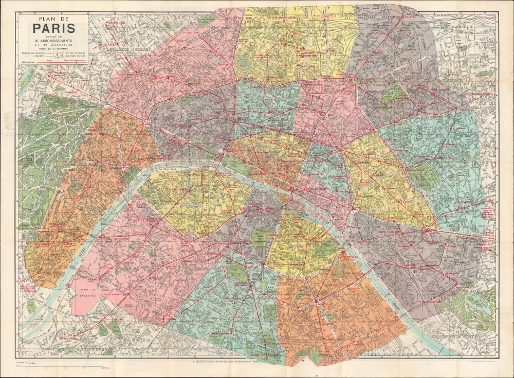
1946 Leconte Pocket Map of Paris, France showing Monuments
ParisMonumental-leconte-1946-2
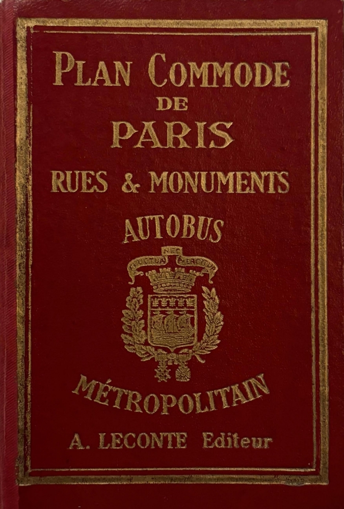
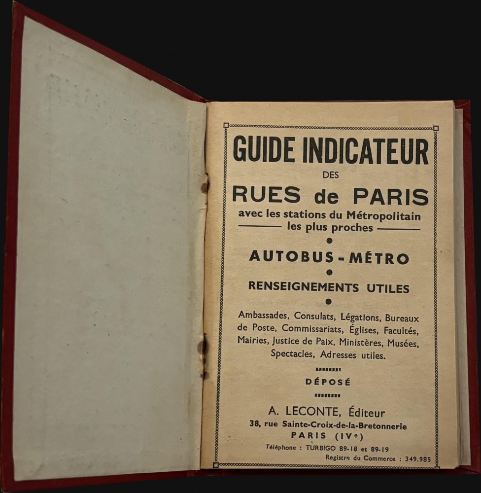


André Leconte (fl. 1880 - 1930) was a Paris based guidebook and map publisher active in the latter part of the 19th and early 20th centuries. He is one of the publishers of the attractive art nouveau style "Nouveau Paris Monumental" series. Leconte is often associated with L. Guilmin, another Paris based map publisher of the same period. Early in World War II (1939 - 1945) the firm published anti-German propaganda, but briefly shut down operations during the occupation. Leconte's name appears on maps and guidebooks of Paris well after his death (though we can't date this event with any precision) to about 1980. More by this mapmaker...
Copyright © 2025 Geographicus Rare Antique Maps | Geographicus Rare Antique Maps
This copy is copyright protected.
Copyright © 2025 Geographicus Rare Antique Maps