This copy is copyright protected.
Copyright © 2025 Geographicus Rare Antique Maps
1925 Reading Railway Map of New Jersey and Pennsylvania
PennsylvaniaNewJersey-readingrailway-1925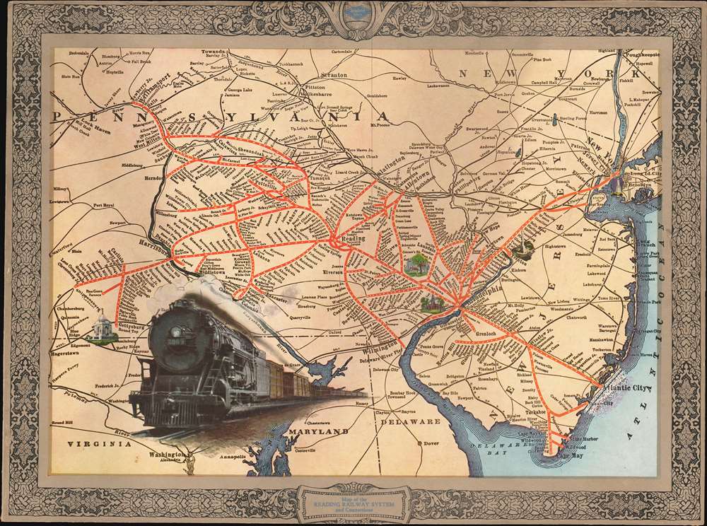

Copyright © 2025 Geographicus Rare Antique Maps | Geographicus Rare Antique Maps
This copy is copyright protected.
Copyright © 2025 Geographicus Rare Antique Maps