This item has been sold, but you can get on the Waitlist to be notified if another example becomes available, or purchase a digital scan.
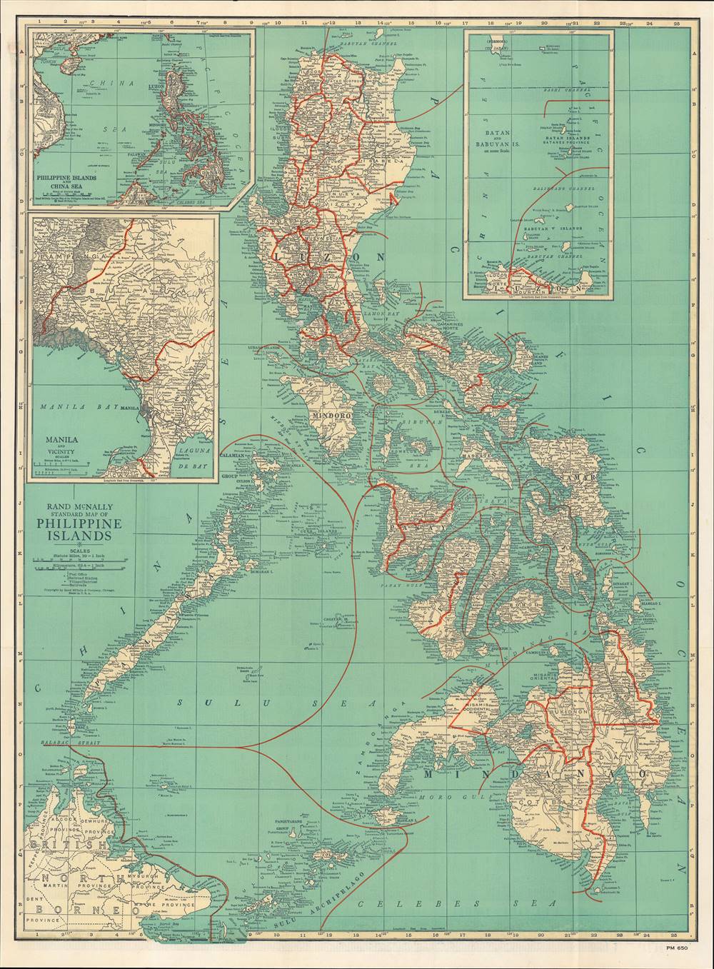
1940 Rand McNally Map of the Philippines
Philippines-mcnally-1940
Title
1940 (undated) 26.75 x 19.75 in (67.945 x 50.165 cm) 1 : 2500000
Description
A Closer Look
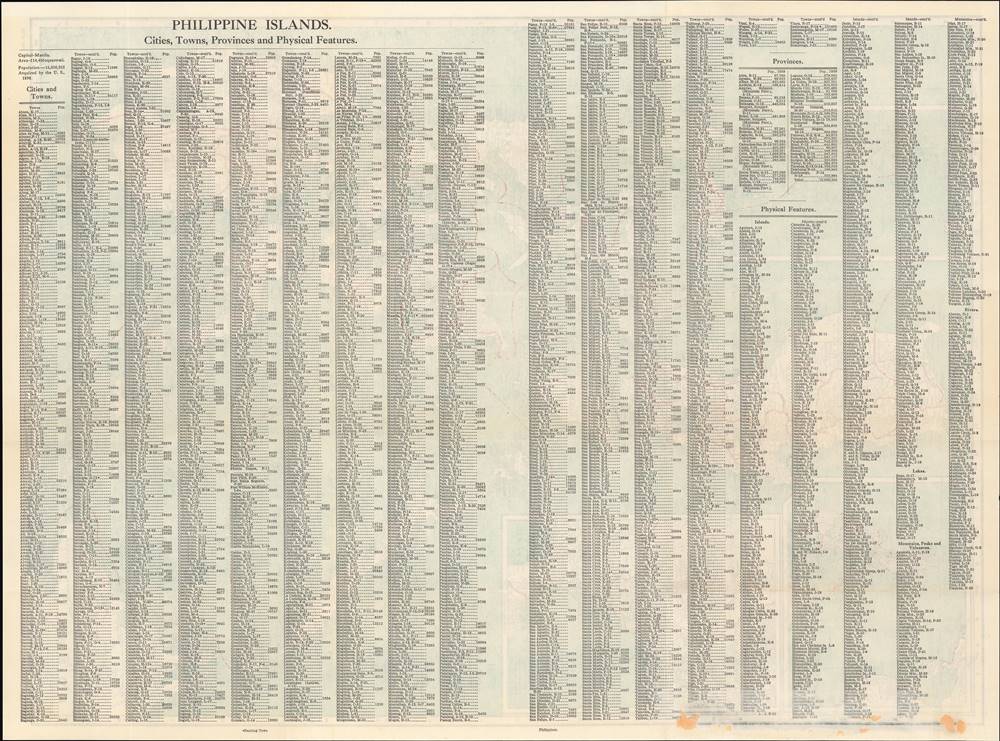
This map illustrates the entire Philippine archipelago and labels all the major islands, including Luzon, Leyte, Panay, Samar, and Mindanao, as well as British North Borneo at the lower-left corner. It is incredibly detailed and features hundreds of cities and villages (barrios), in addition to post offices, railroads, and the elevation (in feet) of various mountains throughout the Philippines.The map is overlaid with a grid corresponding to the very extensive index on the verso (back), and offers three insets: one of the Philippines, the South China Sea, and a portion of mainland Southeast Asia; a second of the Batan and Babuyan Islands as well as southern Formosa (Taiwan); and a third of Manila and its surroundings. All three insets are just as detailed as the central map.
American Imperialism and Moves towards Independence
By the early 19th century, the Spanish colonial system that functioned for three centuries began to break down and the Spanish employed increasingly harsh methods to suppress independence. These developments intersected with the 1898 Spanish-American War, when Americans backed the Emilio Aguinaldo (1869 - 1964) independence faction.At the conclusion of the Spanish-American War, the Philippines were granted to the U.S. and American troops occupied Manila. Tensions grew between U.S. forces and the indigenous revolutionaries, who were unhappy to have been passed from one colonizer to another. Conflict broke out in February 1899, with Emilio Aguinaldo leading the revolutionaries against his former backers. After three years of intense conflict, often combined with atrocities against civilians, most of the rebels were captured or suppressed, though some continued to fight for another decade.
Although under the administration of an American Governor-General, the Philippines was given a degree of autonomy and for the first half of the twentieth century a complex interchange between Filipino elites, American colonial bureaucrats, and Washington D.C. moved incrementally towards independence with the goal of maintaining a strong U.S. presence (contra Japan) and the existing social order on the archipelago. In 1935, the Philippines became a semi-autonomous Commonwealth with a plan to become fully independent in ten years, a process interrupted by the Second World War and Japanese occupation.
Publication History and Census
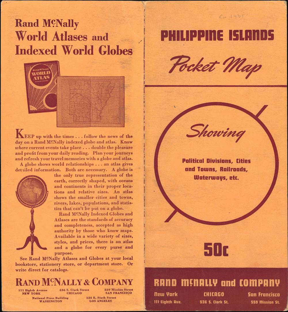
First published and printed in the Rand McNally and Company 1924 Commercial Atlas of America, this is a pocket edition of the atlas map. The date is difficult to determine for certain, but the population statistics given on the verso suggest a date around 1940. It is held by a small handful of academic libraries in North America and is very scarce to the market.Cartographer
Rand, McNally and Co. (fl. 1856 - present) is an American publisher of maps, atlases and globes. The company was founded in 1856 when William H. Rand, a native of Quincy, Massachusetts, opened a print shop in Chicago. Rand hired the recent Irish immigrant Andrew McNally to assist in the shop giving him a wage of 9 USD per week. The duo landed several important contracts, including the Tribune's (later renamed the Chicago Tribune) printing operation. In 1872, Rand McNally produced its first map, a railroad guide, using a new cost effective printing technique known as wax process engraving. As Chicago developed as a railway hub, the Rand firm, now incorporated as Rand McNally, began producing a wide array of railroad maps and guides. Over time, the firm expanded into atlases, globes, educational material, and general literature. By embracing the wax engraving process, Rand McNally was able to dominate the map and atlas market, pushing more traditional American lithographic publishers like Colton, Johnson, and Mitchell out of business. Eventually Rand McNally opened an annex office in New York City headed by Caleb S. Hammond, whose name is today synonymous with maps and atlases, and who later started his own map company, C. S. Hammond & Co. Both firms remain in business. More by this mapmaker...

