This copy is copyright protected.
Copyright © 2025 Geographicus Rare Antique Maps

Details
1944 Army Map Service Road Map of Northern Luzon, Philippines
1944 (dated) $300.00
1944 or Showa 19 Japanese World War II era Map of the Philippines
Philippines2-japanese-1944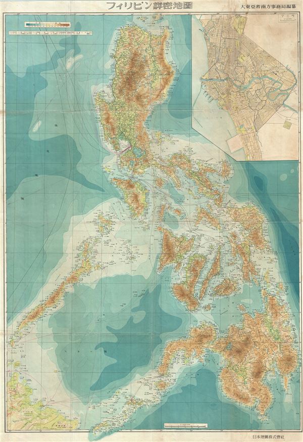

Copyright © 2025 Geographicus Rare Antique Maps | Geographicus Rare Antique Maps
This copy is copyright protected.
Copyright © 2025 Geographicus Rare Antique Maps