This item has been sold, but you can get on the Waitlist to be notified if another example becomes available, or purchase a digital scan.
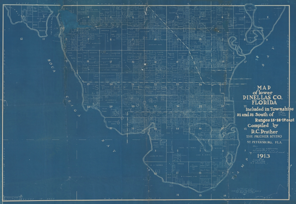
1913 Prather Map of Pinella, St. Petersburg, Tampa Bay, Florida
PinellasFlorida-prather-1913
Title
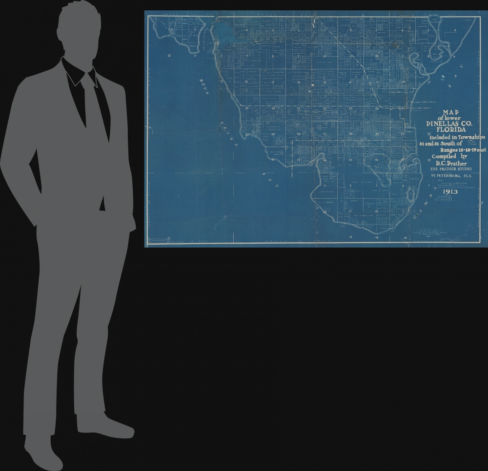
1913 (dated) 36.5 x 52.5 in (92.71 x 133.35 cm)
Description
A Closer Look
The wall sized cyanotype covers from roughly modern-day 54th Avenue North, south to Greater Pinellas Point, and from Boca Ceiga Bay to Tampa Bay. It thus embraces much of modern-day St. Petersburg, as well as Gulfport, Pasadena on the Gulf, and Kenwood. The focus is not so much are St. Petersburg itself - as it existed in 1913, but rather on the high-paced development and real estate speculation running rampant on the rest of the Peninsula. The map notes railroad lines, property owners, and thousands of developments.Cyanotype: Why so Blue?
Cyanotype is a photo-reprographic technique developed in 1842 by the British astronomer John Herschel (1792 - 1871). Sometimes called a 'sunprint', the technique employs a solution of ferric ammonium citrate and potassium ferricyanide, which painted on white paper or cloth, reacts when exposed to sunlight to dye the object a brilliant blue. Areas blocked from ultraviolet exposure remain undyed and white. Herschel developed the technique to reproduce his astronomical notes, but others quickly realized that any object capable of blocking light could be used to create a cyanotype image quickly and easily. By the late 19th century, the process became popular with designers, military, architects, and engineers (blueprints), who used the cheap and effective technique to quickly and exactly reproduce images in the field. Cyanotyping is limited in that only a single copy can be made at one time, so it was only practical for short-term field work. It is also of note that cyanotypes remain extremely reactive to light and, over time, fade or degrade, making them extremely ephemeral. The process fell out of fashion in most places by the 1920s but remains in use in some parts of the world, such as India and Nepal, to this day.Historical Context
In 1913, when this map was issued, St. Petersburg was a small but growing city of about 10,000 situated in the southern Pinellas Peninsula. The city's sunny climate and scenic location made it a popular destination for tourists and winter residents, and several large hotels had been built to accommodate them. At the time, the city boasted a number of notable residents, including Ernest Hemingway, who spent time there while working for the Kansas City Star. Despite its relatively small size, St. Petersburg was a bustling, with a thriving downtown and a vibrant cultural scene.Publication History and Census
This map was drafted and printed in 1913 by Ralph Carlyle Prather's Prather Studio, who would later attain fame as an illustrator. It is based upon information provided by the John D. Harris Abstract Company of St. Petersburg. The present map is the only known example.Cartographer
Ralph Carlyle Prather (November 4, 1889 - April 7, 1953) was an illustrator, draftsman, and printer active in St. Petersburg, Florida, and Denver, Colorado, in the early 20th century. Prather was born in Franklin, Pennsylvania, but grew up in St. Petersburg, Florida, graduating from St. Petersburg High School in 1909. His father, George C. Prather, worked in the Travel industry. Ralph began working as a commercial draftsman around 1912. He appears to have been something of a 'man about town' in St. Petersburg, where he is described by the Tampa Bay Times as 'one of the most popular young men in the city, belonging to the best clubs in St. Petersburg.' Prather ran the 'Prather Studio', which specialized in blueprints for local surveyors - a service he promoted as the 'Electric Blue Printing Dept. of the Prather Studio'. He married Claire McCullough, of Ohio, in 1915, immediately after which he moved to Denver, Colorado, where he took work as a draftsman for the Midwest Refining Company. During this period, he also issued several spectacular aerial views of Colorado Mountains as well as, in 1918, Prather’s Aeroplane Map of the World’s Battle Field, of which there are no known surviving examples. He remained with Midwest Refining until 1922. Afterwards he studied illustration under Charles Livingston Bull (1874 - 1932). By 1924, he established himself as a nature illustrator, specializing in drawing animals. He was living in Pennsylvania for a time after 1925, but ultimately returned to St. Petersburg, Florida. He was also an accomplished writer, publishing numerous magazine articles and short stories co-authored with his wife, Claire. Prather died in St. Petersburg in 1953. More by this mapmaker...


