This copy is copyright protected.
Copyright © 2025 Geographicus Rare Antique Maps
1860 Garnier Map of the North and South Poles in Two Hemispheres
PolarHemispheres-garnier-1860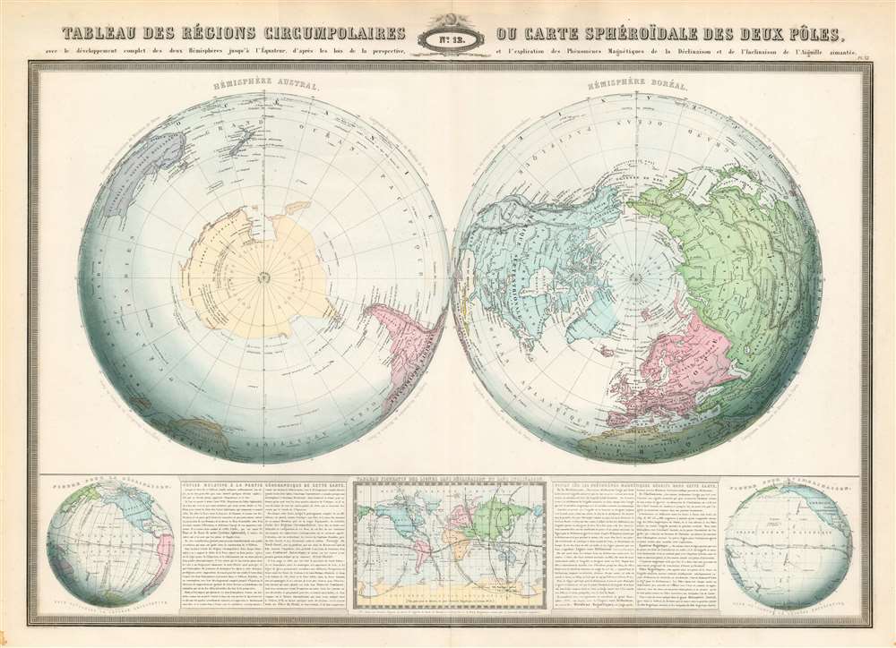

F.A. Garnier (1803 - 1863) was a French cartographer who published the Atlas sphéroidal et universel de géographie in 1862 as his only work. It is said that he spent fifteen years creating the maps for the atlas. More by this mapmaker...
Copyright © 2025 Geographicus Rare Antique Maps | Geographicus Rare Antique Maps
This copy is copyright protected.
Copyright © 2025 Geographicus Rare Antique Maps