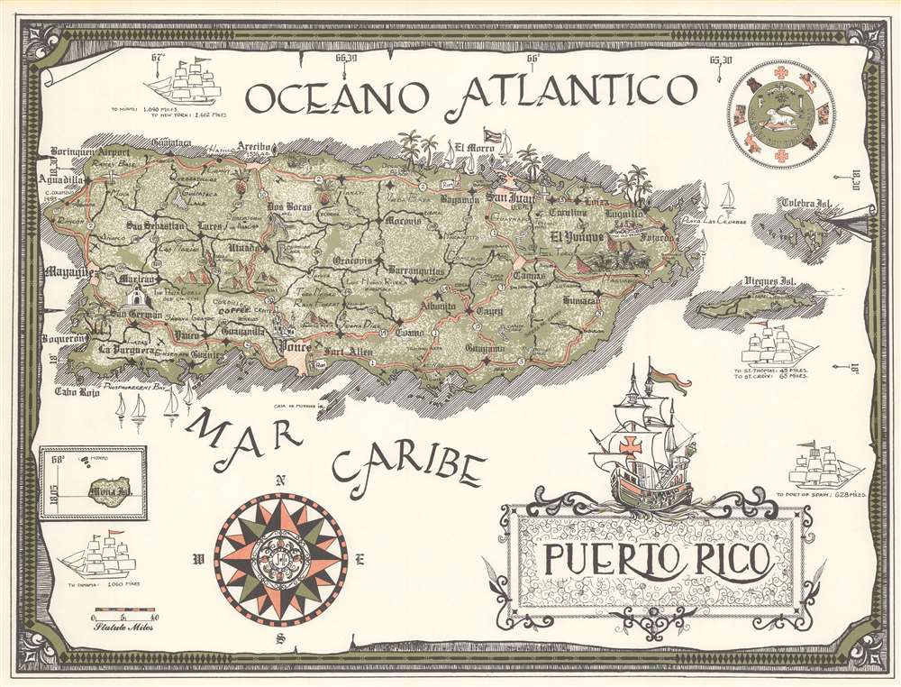
This item below is out of stock, but another example (left) is available. To view the available item, click "Details."
Details
1899 War Department Spanish-American War Wall Map of Puerto Rico
1899 (dated) $950.00
1970 Pictorial Map of Puerto Rico
PuertoRico-unknown-1970$125.00

Title
Puerto Rico.
1970 (undated) 15.75 x 21 in (40.005 x 53.34 cm) 1 : 422400
1970 (undated) 15.75 x 21 in (40.005 x 53.34 cm) 1 : 422400
Description
This is a c. 1970 pictorial map of Puerto Rico. Cities, towns, and villages across the island are identified, along with mountains and lakes. Pictorial vignettes highlight the Porta Coeli, an old church in San Germain, the old train near Fajardo, pineapple cultivation, and rum production. An arrow points out the location where Christopher Columbus landed in 1493. Illustrations of three-masted sailing ships underscore the vast distances to locations such as New York and Panama, as well as the relative proximity of St. Thomas and St. Croix. A wonderful illustration of a Spanish exploration vessel, perhaps one of Columbus's ships, adorns the title cartouche.
Publication History and Census
This map is both unsigned and undated. We have been unable to locate any other cataloged examples.Condition
Very good.

