This copy is copyright protected.
Copyright © 2025 Geographicus Rare Antique Maps
Digital Image: 1925 Chessman Map of Eastern Arabia (Rub' al Khali), Qatar
QatarArabia-cheesmanre-1925_d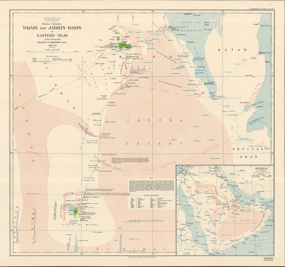

FOR THE ORIGINAL ANTIQUE MAP, WITH HISTORICAL ANALYSIS, CLICK HERE.
Digital Map Information
Geographicus maintains an archive of high-resolution rare map scans. We scan our maps at 300 DPI or higher, with newer images being 600 DPI, (either TIFF or JPEG, depending on when the scan was done) which is most cases in suitable for enlargement and printing.
Delivery
Once you purchase our digital scan service, you will receive a download link via email - usually within seconds. Digital orders are delivered as ZIP files, an industry standard file compression protocol that any computer should be able to unpack. Some of our files are very large, and can take some time to download. Most files are saved into your computer's 'Downloads' folder. All delivery is electronic. No physical product is shipped.
Credit and Scope of Use
You can use your digial image any way you want! Our digital images are unrestricted by copyright and can be used, modified, and published freely. The textual description that accompanies the original antique map is not included in the sale of digital images and remains protected by copyright. That said, we put significant care and effort into scanning and editing these maps, and we’d appreciate a credit when possible. Should you wish to credit us, please use the following credit line:
Courtesy of Geographicus Rare Antique Maps (http://www.geographicus.com).
How Large Can I Print?
In general, at 300 DPI, you should at least be able to double the size of the actual image, more so with our 600 DPI images. So, if the original was 10 x 12 inches, you can print at 20 x 24 inches, without quality loss. If your display requirements can accommodate some loss in image quality, you can make it even larger. That being said, no quality of scan will allow you to blow up at 10 x 12 inch map to wall size without significant quality loss. For more information, it is best consult a printer or reprographics specialist.
Refunds
If the high resolution image you ordered is unavailable, we will fully refund your purchase. Otherwise, digital images scans are a service, not a tangible product, and cannot be returned or refunded once the download link is used.
Robert Ernest Cheesman (1878 - February 13, 1962) O.B.E., was a British military officer, explorer, diplomat, and ornithologist, known especially for his work in the Arabian Peninsula. Cheesman's exposure to the Middle East began when he was assigned as Private Secretary to Sir Percy Cox during and after the First World War, including the first part of his tenure as High Commissioner in Iraq (beginning in 1920). Cheesman quickly developed knowledge and connections throughout the region, including befriending Shaikh Hamad bin Isa Al Khalifa (1872 - 1942) of Bahrain, who later became hakim (ruler) of Bahrain. Between 1921 and 1924, Cheesman explored and mapped the Arabian coast from the Gulf of Salwah to Uqair while also collecting hundreds of specimens from the Al-Ahsa Oasis. His sister, Evelyn, an entomologist, accompanied him on these explorations and also collected many specimens for scientific study, while another sister, Edith, was a painter known for her depictions of Iraq. After his work in Iraq and Arabia, R. E. Cheesman began a diplomatic career, stationed for a decade as a consul at Dangila in northwest Ethiopia. While there, he mapped the regions of Agawmeder and Gojjam, and explored and surveyed parts of the Blue Nile and Lake Tana. For these latter explorations, he was awarded the Royal Geographical Society's Patron's Medal. Cheesman retired from diplomatic service in 1934, but rejoined the military during the Second World War and was made the head of intelligence for the Ethiopian Section of the Sudan Defence Force. More by this mapmaker...
Royal Geographical Society (fl. 1830 - present) is a British Society established in 1830 to promote geographical science and exploration. Originally titled the "Geographical Society of London", the RGS received its royal charter from Queen Victoria in 1859 shortly after absorbing several similar but more regional societies including the African Association, the Raleigh Club and the Palestine Association. The RGS sponsored many of the most important and exciting voyages of exploration ever undertaken, including the exploration of Charles Darwin, David Livingstone, Robert Falcon Scott, Richard F. Burton, John Speke, George Hayward, H. M Stanley, Ernest Shackleton and Sir Edmond Hillary. Today, the RGS remains a leading global sponsor of geographical and scientific studies. The Society is based in Lowther Lodge, South Kensington, London. Learn More...
Copyright © 2025 Geographicus Rare Antique Maps | Geographicus Rare Antique Maps
This copy is copyright protected.
Copyright © 2025 Geographicus Rare Antique Maps