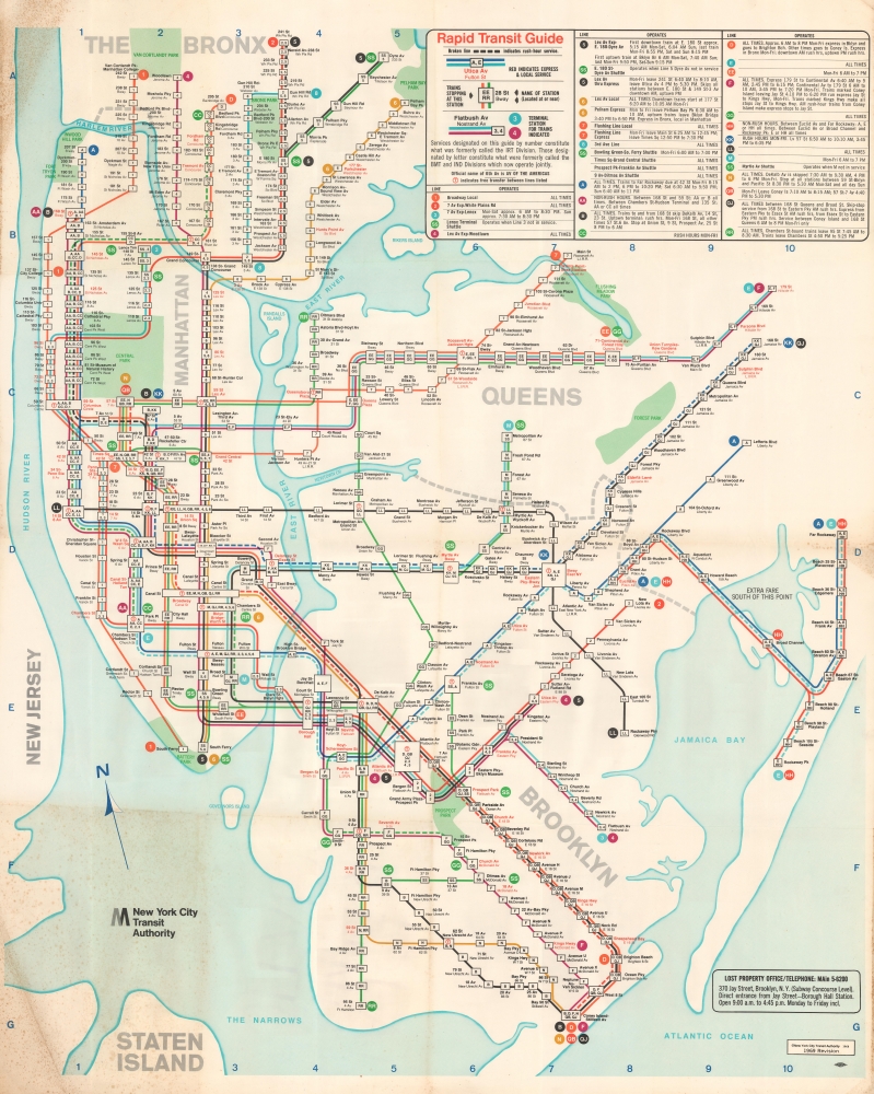
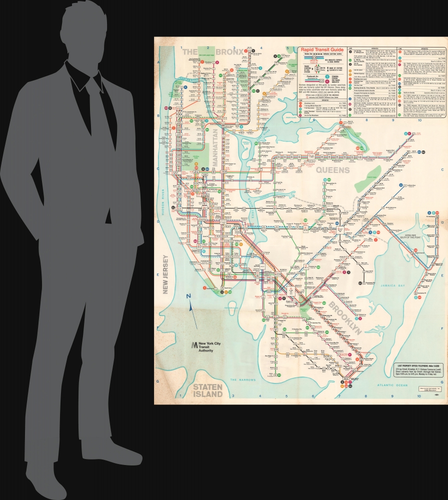
1969 New York City Transit Authority Wall Map of the New York City Subway
RapidTransitGuide-nycta-1969$2,500.00

Title
Rapid Transit Guide.
1969 (dated) 55.5 x 46 in (140.97 x 116.84 cm)
1969 (dated) 55.5 x 46 in (140.97 x 116.84 cm)
Description
This is a 1969 revised edition of the New York City Transit Authority map of the New York City Subway. When this map debuted in 1968, it combined several design innovations to make navigating the growing Subway system easier.
A New Subway Map
In the late 1960s, the New York City Transportation Authority embarked on a mission to integrate the previously separate IRT, BMT, and IND Divisions more thoroughly. Part of this drive included the construction of the Chrystie Street Connection, one of the few track connections between the BMT and IND. Also, the agency wanted to 'integrate information delivery,' which included a new typeface for all signage and a standardized approach to line identification. The map was the combined effort of R. Raleigh D'Adamo (who proposed color-coding the subway by individual routes and not by the historic operating company), Dr. Stanley Goldstein (a professor at Hofstra University), and Dante Calise (art director at Diamond Packaging, which printed the map).Innovations in Practice
As is immediately noticeable, each subway line is illustrated using a different color, making route-finding easier. Dashed lines highlight express routes, affording faster commute options. Stations are highlighted in black and red, with the red transfer stations identified with the lines they serve - another innovation. A guide that explains the notations and hours of operation for each line is included in the upper right.Publication History and Census
This map was created and published by the New York City Transit Authority in 1969 as a revised edition of the new 1968 subway map. Large-format editions, like the present example, were hung in subway stations and, when replaced, were either thrown out or pasted over, making the survival rate very low. We are aware of only one other surviving example, which is in private hands and in much worse condition. The 1968 edition of the New York Subway map was replaced in 1972 by Massimo Vignelli's iconic map.Condition
Good. Wear along original fold lines. Foxing. Toning.


