

This copy is copyright protected.
Copyright © 2025 Geographicus Rare Antique Maps
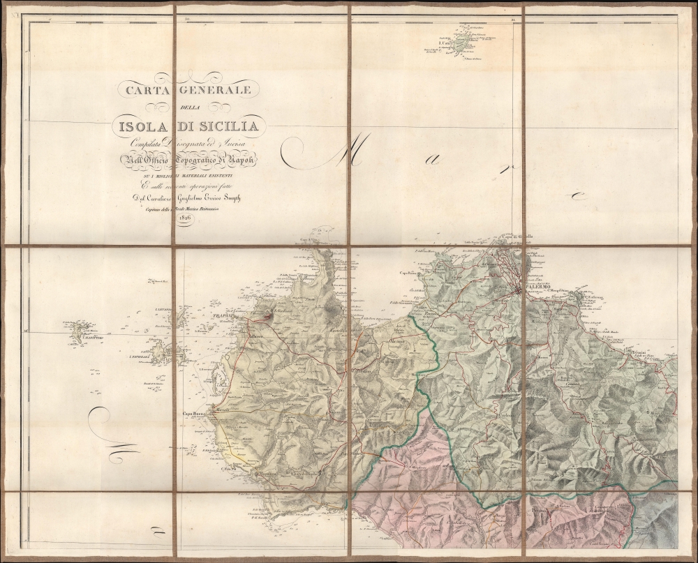
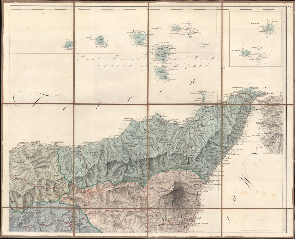
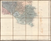
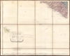
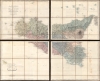
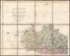
Digital Image: 1826 Officio Topografico di Napoli Wall Map of Sicily, Italy
Sicilia-offtoponapoli-1826_d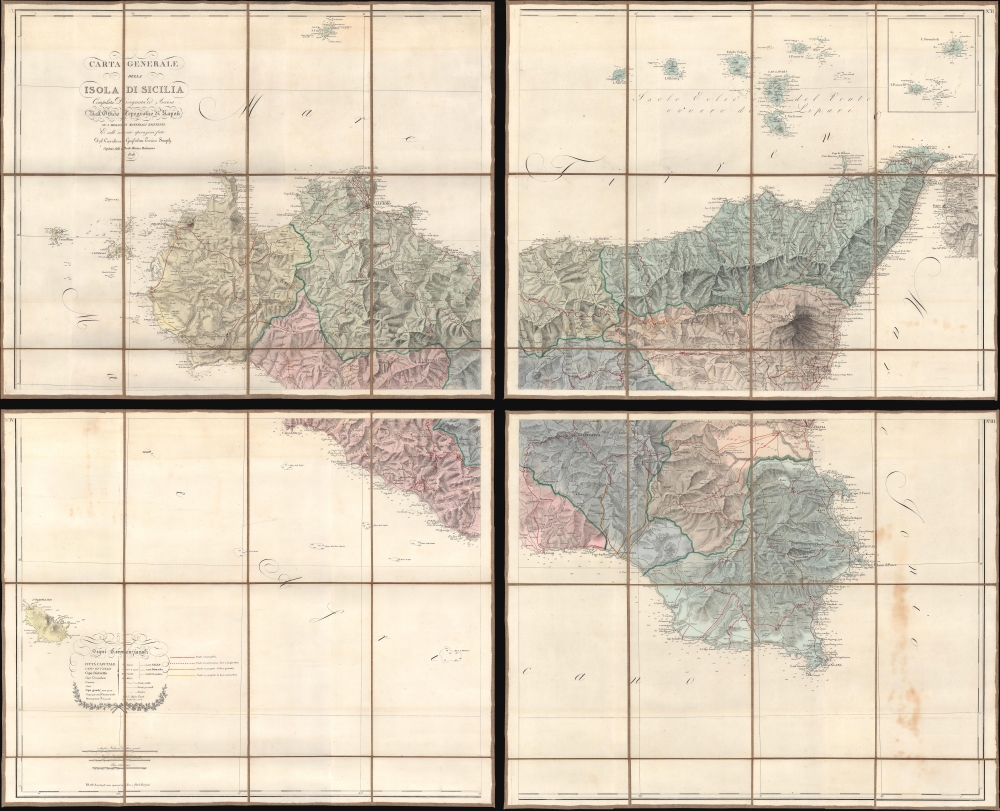

FOR THE ORIGINAL ANTIQUE MAP, WITH HISTORICAL ANALYSIS, CLICK HERE.
Digital Map Information
Geographicus maintains an archive of high-resolution rare map scans. We scan our maps at 300 DPI or higher, with newer images being 600 DPI, (either TIFF or JPEG, depending on when the scan was done) which is most cases in suitable for enlargement and printing.
Delivery
Once you purchase our digital scan service, you will receive a download link via email - usually within seconds. Digital orders are delivered as ZIP files, an industry standard file compression protocol that any computer should be able to unpack. Some of our files are very large, and can take some time to download. Most files are saved into your computer's 'Downloads' folder. All delivery is electronic. No physical product is shipped.
Credit and Scope of Use
You can use your digial image any way you want! Our digital images are unrestricted by copyright and can be used, modified, and published freely. The textual description that accompanies the original antique map is not included in the sale of digital images and remains protected by copyright. That said, we put significant care and effort into scanning and editing these maps, and we’d appreciate a credit when possible. Should you wish to credit us, please use the following credit line:
Courtesy of Geographicus Rare Antique Maps (http://www.geographicus.com).
How Large Can I Print?
In general, at 300 DPI, you should at least be able to double the size of the actual image, more so with our 600 DPI images. So, if the original was 10 x 12 inches, you can print at 20 x 24 inches, without quality loss. If your display requirements can accommodate some loss in image quality, you can make it even larger. That being said, no quality of scan will allow you to blow up at 10 x 12 inch map to wall size without significant quality loss. For more information, it is best consult a printer or reprographics specialist.
Refunds
If the high resolution image you ordered is unavailable, we will fully refund your purchase. Otherwise, digital images scans are a service, not a tangible product, and cannot be returned or refunded once the download link is used.
The Reale Officio Topografico (Royal Topographical Office) (1781 - 1879) was a Neopolitan military scientific institute based in Naples that made topographic, geographical, and hydrographic maps for the Kingdom of the Two Sicilies. Founded by Giovanni Antonio Rizzi Zannoni in 1781, the Office created an incredible reputation during its existence, becoming one of the best topographic offices in Europe and an important point of reference for other European cartographic institutions. By 1855, there were five bureaus: library, machine and instrument cabinet and observatory; internal works (drawings and engravings); large-scale typography, chalcography, lithography and models of fortresses; topographic section of Palermo; and geodetic and topographic works. After the unification of Italy, the Kingdom of Italy formed what became the Military Geographical Institute in Florence. The Reale Officio Topografico survived as a branch of this organization until it was 'definitively suppressed' in 1879. More by this mapmaker...
William Henry Smyth (January 21, 1788 - September 8, 1865) was a British hydrographer, Royal Navy officer, numismatist, and astronomer. Born in London, Smyth ran away from home at fourteen and became a cabin boy on a merchant ship. When the ship was commandeered by the Royal Navy, Smyth began his naval career as an ordinary seaman. He served with distinction during the Napoleonic Wars (1803 - 1815), spending from 1804 through 1808 in the Pacific and in the waters off India, China, and Australia. From 1809 through 1815 he served in Europe, participating in the defense of Cadiz and the defense of Sicily. He was promoted to lieutenant on March 25, 1813, and then to Commander on September 18, 1815. With this promotion he was placed in command of the brig Scylla which he used to continue the hydrographic survey work and his surveys off the coast of Sicily, along with the adjacent shorts of Italy, and the North African coast. He transferred to the Aid in 1817 and continued his survey work along the Italian, Sicilian, Greek, and African coasts. These surveys resulted in the creation of numerous charts, which were used by the Royal Navy until the mid-20th century. He met the astronomer Giuseppe Piazzi in Palermo in 1817 and visited his observatory, which sparked an interest in astronomy. He was promoted to Post-Captain in 1824, which ended his service at sea with the Royal Navy. He settled in Bedford, England, in 1825, and established his own private observatory. From here he observed nebulae, star clusters, and double stars, leading him to publish Cycle of Celestial Objects in 1844. This book earned him the Gold Medal of the Royal Astronomical Society in 1845 and the presidency of the society. He retired from the Navy in 1846 on half-pay, and was promoted to Rear-Admiral, Vice-Admiral, and finally Admiral on November 14, 1863. He was awarded the Royal Geographical Society's Founder's Medal in 1854 for his survey work in the Mediterranean. Learn More...
Copyright © 2025 Geographicus Rare Antique Maps | Geographicus Rare Antique Maps
This copy is copyright protected.
Copyright © 2025 Geographicus Rare Antique Maps