This copy is copyright protected.
Copyright © 2025 Geographicus Rare Antique Maps
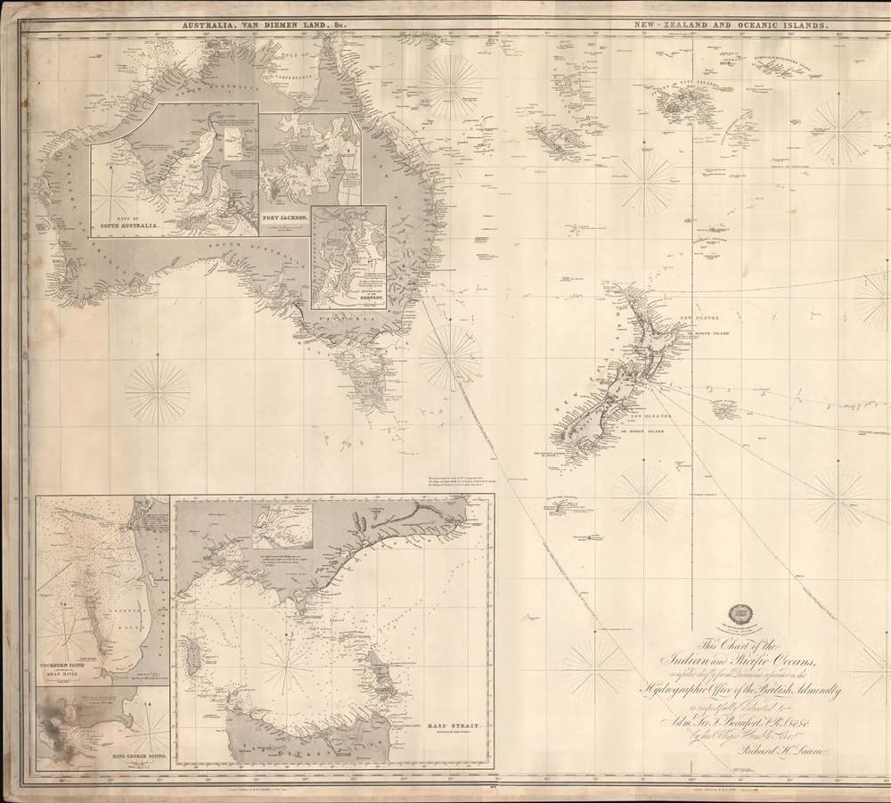
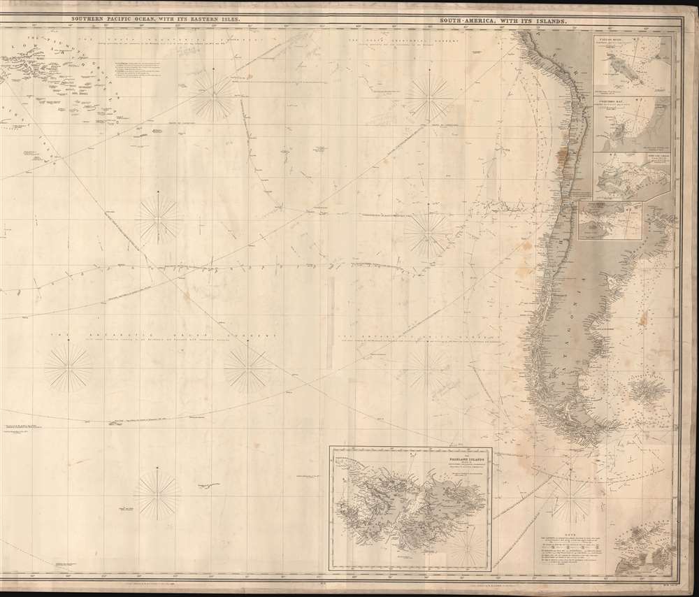
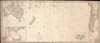
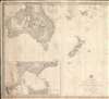
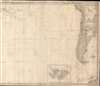
Digital Image: 1880 Laurie Blueback Nautical Chart of the South Pacific, New Zealand, Australia
SouthPacific-laurie-1880_d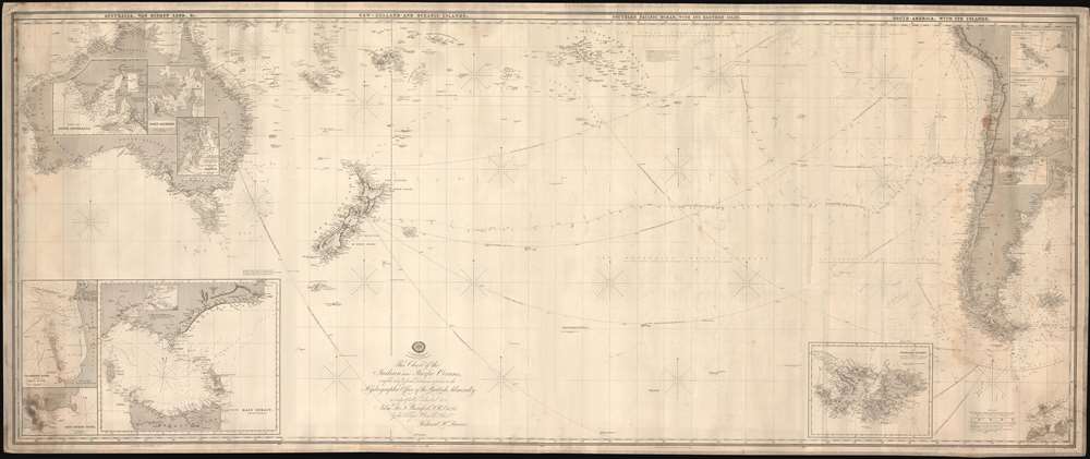

FOR THE ORIGINAL ANTIQUE MAP, WITH HISTORICAL ANALYSIS, CLICK HERE.
Digital Map Information
Geographicus maintains an archive of high-resolution rare map scans. We scan our maps at 300 DPI or higher, with newer images being 600 DPI, (either TIFF or JPEG, depending on when the scan was done) which is most cases in suitable for enlargement and printing.
Delivery
Once you purchase our digital scan service, you will receive a download link via email - usually within seconds. Digital orders are delivered as ZIP files, an industry standard file compression protocol that any computer should be able to unpack. Some of our files are very large, and can take some time to download. Most files are saved into your computer's 'Downloads' folder. All delivery is electronic. No physical product is shipped.
Credit and Scope of Use
You can use your digial image any way you want! Our digital images are unrestricted by copyright and can be used, modified, and published freely. The textual description that accompanies the original antique map is not included in the sale of digital images and remains protected by copyright. That said, we put significant care and effort into scanning and editing these maps, and we’d appreciate a credit when possible. Should you wish to credit us, please use the following credit line:
Courtesy of Geographicus Rare Antique Maps (http://www.geographicus.com).
How Large Can I Print?
In general, at 300 DPI, you should at least be able to double the size of the actual image, more so with our 600 DPI images. So, if the original was 10 x 12 inches, you can print at 20 x 24 inches, without quality loss. If your display requirements can accommodate some loss in image quality, you can make it even larger. That being said, no quality of scan will allow you to blow up at 10 x 12 inch map to wall size without significant quality loss. For more information, it is best consult a printer or reprographics specialist.
Refunds
If the high resolution image you ordered is unavailable, we will fully refund your purchase. Otherwise, digital images scans are a service, not a tangible product, and cannot be returned or refunded once the download link is used.
Richard Holmes Laurie (December 2, 1777 - January 19, 1858) was a British map and chart publisher and seller. Born in London to publisher Robert Laurie and his wife Esther Jouret, R. H. Laurie took over his father's share of the Laurie and Whittle publishing firm upon his father's retirement in 1812 and began trading as Whittle and Laurie. After Whittle died in 1818, Laurie continued the business by himself, trading under the imprint R. H. Laurie. During the 1820s and 1830s, Laurie expanded the nautical chart business until he was overtaken by Admiralty charts. Laurie married Susan Ann Coates on February 6, 1814 and later married Mary Ann Dennison on October 15, 1833. He left his business and all his property in trust for his two surviving daughters (both of whom were minors) with his principal engraver, Alexander George Findlay. Findlay continued the business in Laurie's name after acquiring its equity from his daughters. More by this mapmaker...
Copyright © 2025 Geographicus Rare Antique Maps | Geographicus Rare Antique Maps
This copy is copyright protected.
Copyright © 2025 Geographicus Rare Antique Maps