This item has been sold, but you can get on the Waitlist to be notified if another example becomes available, or purchase a digital scan.
1898 Vallardi Italian Folding Map of the Spanish-American War
SpanishAmericanWar-vallardi-1898$300.00


Title
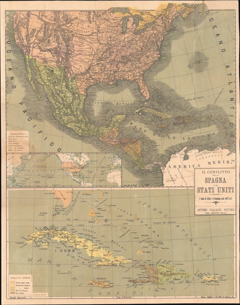
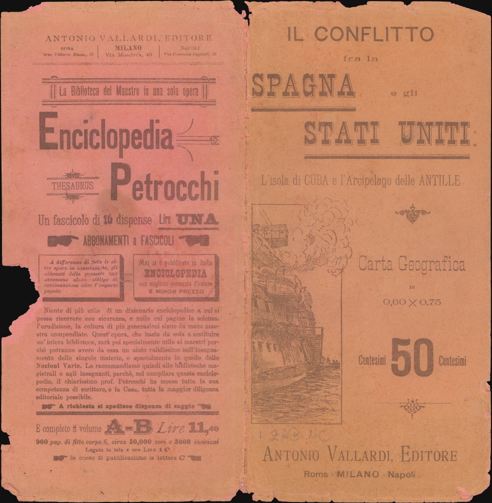
Il conflitto fra la Spagna e gli Stati Uniti L'Isola di Cuba e l'Arcipelago delle Antille.
1898 (undated) 28 x 22.5 in (71.12 x 57.15 cm)
1898 (undated) 28 x 22.5 in (71.12 x 57.15 cm)
Description
A scarce c. 1898 Antonio Vallardi Italian-language folding map of the theaters of the Spanish-American War. While Italy had no direct involvement in the war, Italians were keenly interested in the broader geopolitical implications, particularly how the decline of the Spanish Empire might affect European colonial ambitions and the stability of the Mediterranean.
A Closer Look
This sheet is divided into two main maps, the top map covering much of Central and North America and the bottom map focusing specifically on Cuba and nearby islands (including Hispaniola, Jamaica, and Puerto Rico). An inset map appears in the bottom-left portion of the top map, covering from China to Spain and highlighting Pacific shipping routes. On both the main maps, colonial possessions are shaded according to their parent nation, while cities, waterways, mountains, rail lines, telegraph lines, shipping routes, and other features are noted throughout. The map retains some curious anachronisms in the western United States, including 'San Antonio di Bexar' in Texas and Fort Ross with Kostromitinoff (Kostromitinov) in Sonoma County, California.The Spanish-American War
The Spanish-American War was fought between Spain and the United States between April 21, 1898, and August 13, 1898. The war started after the USS Maine suffered a massive explosion and sank in Havana Harbor. Tensions had been rising between the two countries for some time, with the U.S. showing support for Cuban independence while Spain claimed Cuba to be a province of Spain. The Spanish were quickly outclassed and outnumbered by the U.S. forces and surrendered after minimal conflict. After the fighting ended, the U.S. received the Philippines, Guam, and Puerto Rico along with Cuba as a U.S. protectorate.Publication History and Census
This map was published by Antonio Vallardi in 1898. It is noted in the OCLC among the holdings of the Bibliothèque nationale de France and is also held by the Univerzita Karlova in Prague.Cartographer
Antonio Vallardi (1813 - 1876) was an Italian publisher and founder of the Antonio Vallardi publishing house. Born into a Milanese publishing family, his grandfather Cesare Vallardi (1736 - 1799) began publishing books in Contrada Santa Margherita in the 1750s. Vallardi's father, Pietro (1770 - 1819), and uncle Giuseppe (1784 - 1861) continued their father's publishing business but renamed the company Fratelli Vallardi and became prominent publishers of books and art prints. Pietro's sons, Franceso and Antonio, both founded their own publishing houses. Antonio Vallardi opened his publishing house in 1843, three years after his brother. Antonio's publishing house became known for academic and linguistic works, alongside the many maps and guides it published for the Touring Club. Antonio's descendants operated the publishing house until 1970, when they sold the firm to Garzanti. More by this mapmaker...
Condition
Good. Light wear along original folds. Light soiling throughout. Slight loss around color-coding key professionally repaired. One strip of cellophane tape in upper right quadrant. Strip of old cellophane tape also on verso.
References
OCLC 494283863. Univerzita Karlova Faculty of Sciences Map Collection CZ-PrUPM.