This copy is copyright protected.
Copyright © 2025 Geographicus Rare Antique Maps
1940 Ashok City Map or Plan of Srinagar, Jammu and Kashmir, India
Srinagar-ashok-1940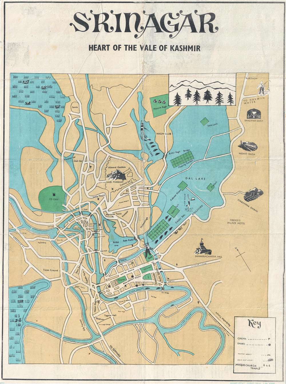

Copyright © 2025 Geographicus Rare Antique Maps | Geographicus Rare Antique Maps
This copy is copyright protected.
Copyright © 2025 Geographicus Rare Antique Maps