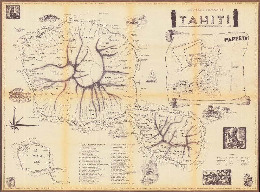
1965 Tahiti Tourism Bureau Pictorial Tourist Map of Tahiti, French Polynesia
Tahiti-servicetourisme-1965$600.00

Title
Polynesie Française Tahiti.
1965 (undated) 31.25 x 42.75 in (79.375 x 108.585 cm) 1 : 69000
1965 (undated) 31.25 x 42.75 in (79.375 x 108.585 cm) 1 : 69000
Description
Tahiti has captured people's imaginations since the 18th century when Captain James Cook returned from his first voyage to the Pacific with a map of the islands and descriptions of it as an earthly paradise. This c. 1965 Service du Tourisme de Tahiti pictorial tourist map of Tahiti must have helped continue the fascination with the island. Today, Tahiti remains a popular tourist destination.
A Closer Look
The map focuses on Tahiti, the largest island in the Windward Group of the Society Islands, French Polynesia. Fifty-four locations are numerically identified, including hotels, restaurants, beaches, clubs, museums, rivers, and valleys. Faa'a International Airport, which opened in 1960, making visiting the island much easier, is situated along the island's northern coast. Mountain peaks, rivers, and cities and towns are among the locations labeled. Bays, points, channels, islands, banks, and other coastal features are also identified. An inset map of Papeete, the capital of French Polynesia, occupies part of the upper right. Charming Tahitian cultural vignettes further decorate the piece.Publication History and Census
This map was created and published by the Service du Tourisme de Tahiti c. 1965. This is the only known surviving example. We dated this piece based on the earliest appearance of the Vieux Montmartre Restaurant we were able to find, which was from 1965.Condition
Very good. Diazoprint. Light wear along original fold lines. Verso repairs to fold separations.


