This copy is copyright protected.
Copyright © 2025 Geographicus Rare Antique Maps
1930s Japanese Map of Taiwan or Formosa
Taiwan-japanese-1930s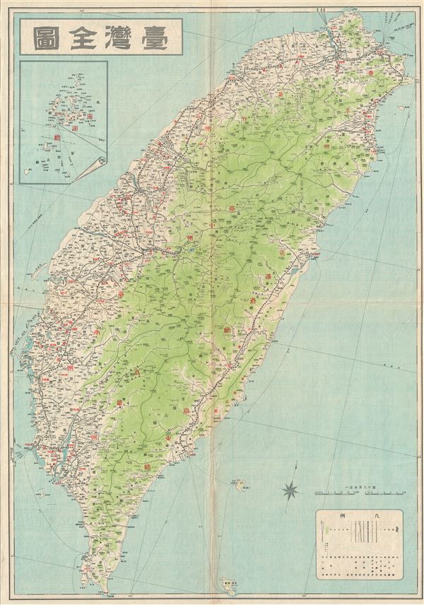

Copyright © 2025 Geographicus Rare Antique Maps | Geographicus Rare Antique Maps
This copy is copyright protected.
Copyright © 2025 Geographicus Rare Antique Maps