This copy is copyright protected.
Copyright © 2025 Geographicus Rare Antique Maps
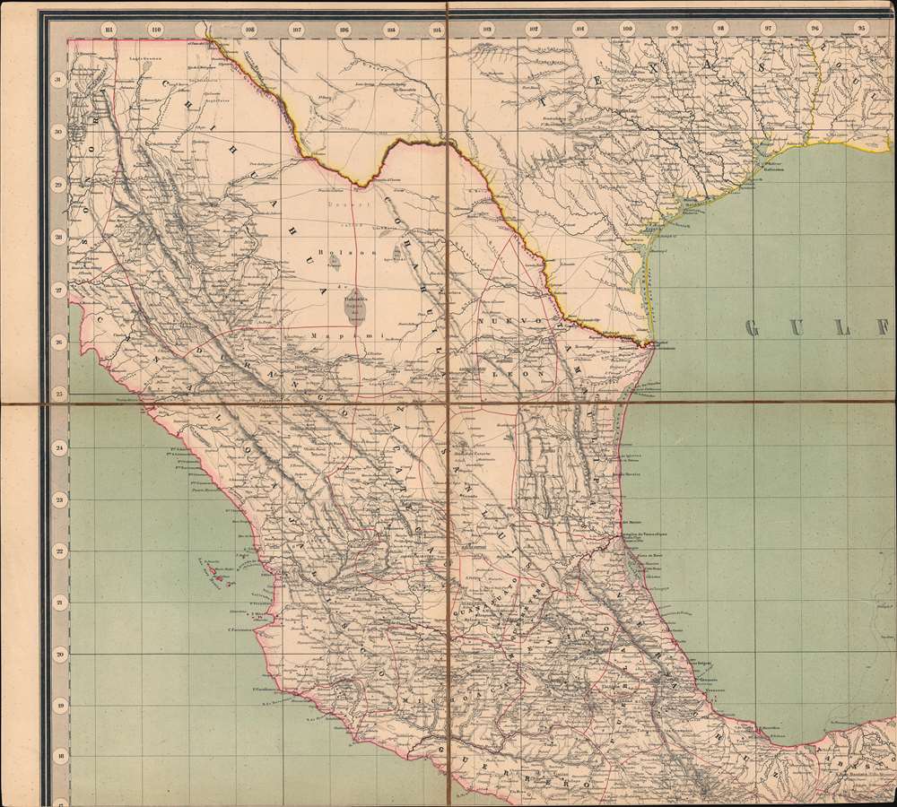
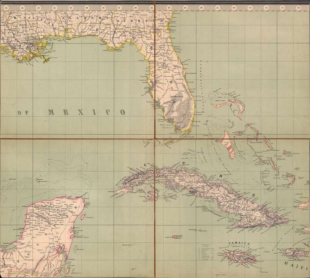
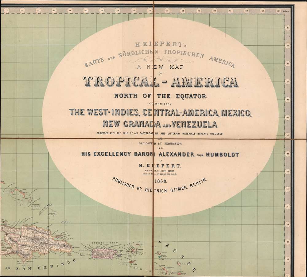
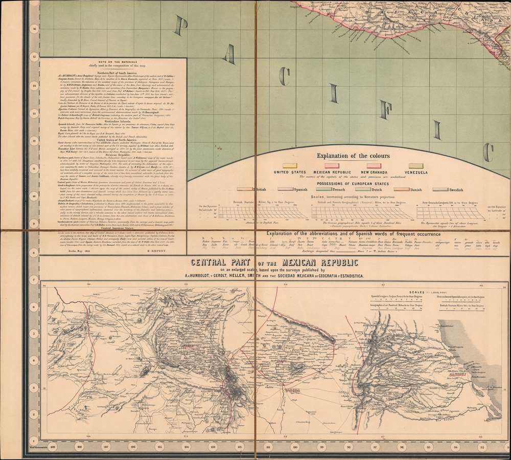
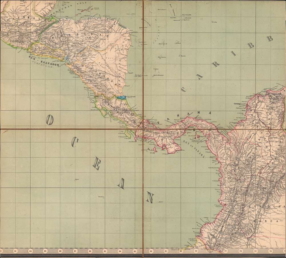
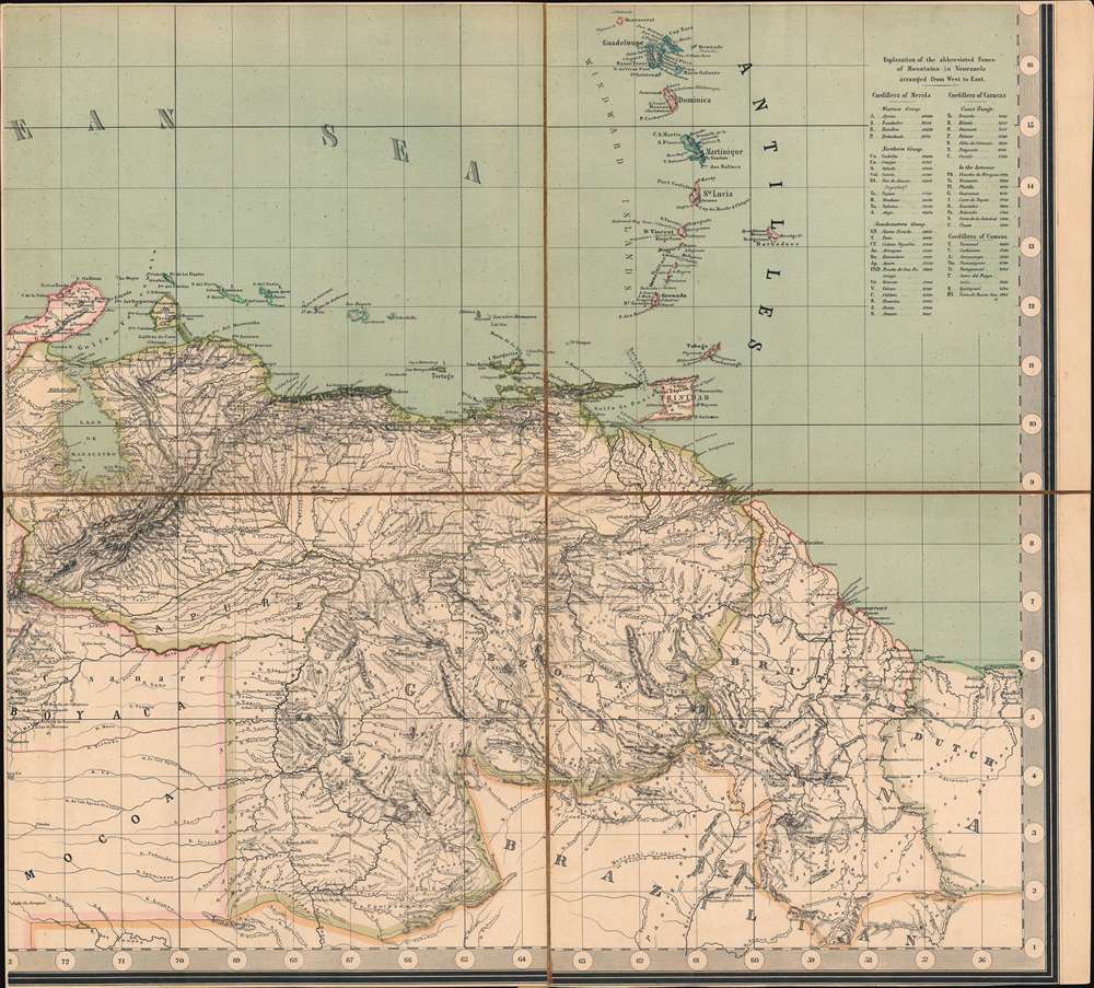
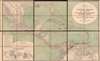
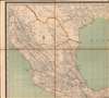
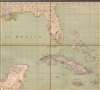
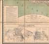
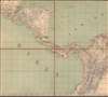
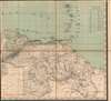
Digital Image: 1858 Kiepert Map of the Gulf of Mexico, the West Indies, Central and South America
TropicalAmerica-kiepert-1858_d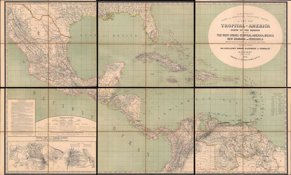

FOR THE ORIGINAL ANTIQUE MAP, WITH HISTORICAL ANALYSIS, CLICK HERE.
Digital Map Information
Geographicus maintains an archive of high-resolution rare map scans. We scan our maps at 300 DPI or higher, with newer images being 600 DPI, (either TIFF or JPEG, depending on when the scan was done) which is most cases in suitable for enlargement and printing.
Delivery
Once you purchase our digital scan service, you will receive a download link via email - usually within seconds. Digital orders are delivered as ZIP files, an industry standard file compression protocol that any computer should be able to unpack. Some of our files are very large, and can take some time to download. Most files are saved into your computer's 'Downloads' folder. All delivery is electronic. No physical product is shipped.
Credit and Scope of Use
You can use your digial image any way you want! Our digital images are unrestricted by copyright and can be used, modified, and published freely. The textual description that accompanies the original antique map is not included in the sale of digital images and remains protected by copyright. That said, we put significant care and effort into scanning and editing these maps, and we’d appreciate a credit when possible. Should you wish to credit us, please use the following credit line:
Courtesy of Geographicus Rare Antique Maps (http://www.geographicus.com).
How Large Can I Print?
In general, at 300 DPI, you should at least be able to double the size of the actual image, more so with our 600 DPI images. So, if the original was 10 x 12 inches, you can print at 20 x 24 inches, without quality loss. If your display requirements can accommodate some loss in image quality, you can make it even larger. That being said, no quality of scan will allow you to blow up at 10 x 12 inch map to wall size without significant quality loss. For more information, it is best consult a printer or reprographics specialist.
Refunds
If the high resolution image you ordered is unavailable, we will fully refund your purchase. Otherwise, digital images scans are a service, not a tangible product, and cannot be returned or refunded once the download link is used.
Heinrich Kiepert (July 31, 1818 - April 21, 1899) was a German cartographer and historian active in the mid to late 19th century. Kiepert was born into generous circumstances that allowed him to develop his childhood interest in geography and history into a serious profession. The Berlin-born Kiepert traveled widely in his youth, and was encouraged in his studies by the historian Leopold von Ranke, a family friend. He was a student of classical antiquity under August Meineke and worked with Cal Ritter. He studied history, philology, and geography at the Humboldt University of Berlin - he would eventually teach geography there, and would remain there until his death. Disappointed with the poor quality of maps in historical school books, Kiepert set out to correct the problem. His first major work, the Atlas von Hellas und den hellenischen Kolonien, was published with Karl Ritter in 1840. The work immediately won accolades from the academic community. A number of similar publications followed, including the 1848 Historisch-geographischer Atlas der alten Welt, the 1854 Atlas Antiquus, and the 1894 Formae Orbis Antiqui. Kiepert specialized in the historical geography of the classical world at the University of Berlin. This developed into a geographical interest in the Ottoman Empire - which at the time was poorly mapped. He traveled to Asia Minor four times between 1841 and 1848, using his travels to collect and compile geographical data, producing several outstanding regional maps with wide-ranging coverage extending from the Mediterranean to the Caucasus. Thanks in large part to these works, Kiepert became the recognized expert on Ottoman geography, his works representing the best obtainable reconnaissances of their respective regions. From 1845 until 1852, Kiepert served as the head of the Geographisches Institut in Weimar. In 1854 he took a position as professor of Geography at the University of Berlin and for nearly 50 years was considered the go-to man with regard to the cartography of classical and biblical antiquity. Kipert formed a long-lasting professional association with Dietrich Reimer, a publisher in Berlin. Kiepert's maps are known for b being clear, easy to read, and as accurate as possible for the time in which they were produced. In addition to his landmark work in mapping the Ottoman Empire, Kiepert also published the first detailed ethnic maps of Austria-Hungary, the Balkan Peninsula, and Germany. Kiepert died in Berlin on April 21 of 1899. More by this mapmaker...
Dietrich Arnold Reimer (May 13, 1818 - October 15, 1899) was a German publisher. Born in Berlin, Reimer was the son of Georg Andreas Reimer (1776 - 1842), another German printer. He founded a book and map shop in 1845 in Berlin, and after taking over most of the art and geographic publishing from his father two years later, founded Dietrich Reimer Verlag. Heinrich Kiepert (1818 - 1899) began working for his publishing firm in 1852, and in 1868, Reimer made Hermann August Hoefer, a German bookseller, a partner in his company. This move pushed Reimer's publishing firm to international prominence, as the new partnership increased their desire to produce globes and their commitment to improving their maps. He married Henriette Hirzel in 1847, with whom he had three children. Henriette died in 1853, and Reimer remarried in 1855 to Emma Jonas. Reimer gave up control of his publishing house on October 1, 1891, due to health concerns, and the business passed to investor Ersnt Vohsen (1853 - 1919). The firm published under the imprint of 'Dietrich Reimer (Ernst Vohsen)' until Vohsen's death in 1919. Until the end of the World War I (1914 - 1818) and the Treaty of Versailles, the publishing house profited from the colonialism of the German Empire with this business model. It survived both the end of the war and inflation. It was able to recover by the start of World War II (1939 - 1945) but then had to cut back production again, mainly due to a shortage of paper and reduced demand. In April 1945, the publishing house at Wilhelmstrasse 29, including the archive, accounting department, and book warehouse, was destroyed in two air raids. It recovered and is today a prominent German academic publisher. The firm remains in operation today as 'Dietrich Reimer GmbH.' Learn More...
Copyright © 2025 Geographicus Rare Antique Maps | Geographicus Rare Antique Maps
This copy is copyright protected.
Copyright © 2025 Geographicus Rare Antique Maps