This copy is copyright protected.
Copyright © 2025 Geographicus Rare Antique Maps
1928 Southern Pacific Railroad Pictorial Map of the United States
UnitedStates-southernpacific-1928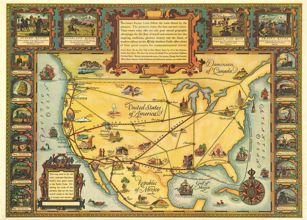

Copyright © 2025 Geographicus Rare Antique Maps | Geographicus Rare Antique Maps
This copy is copyright protected.
Copyright © 2025 Geographicus Rare Antique Maps