This copy is copyright protected.
Copyright © 2025 Geographicus Rare Antique Maps
1931 National Development Bureau Tourist Road Map of Canada and the U.S.
USCanada-natdevbureau-1931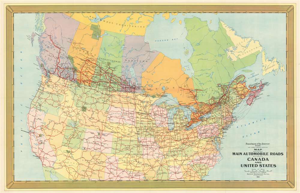

Copyright © 2025 Geographicus Rare Antique Maps | Geographicus Rare Antique Maps
This copy is copyright protected.
Copyright © 2025 Geographicus Rare Antique Maps